 Bahamas
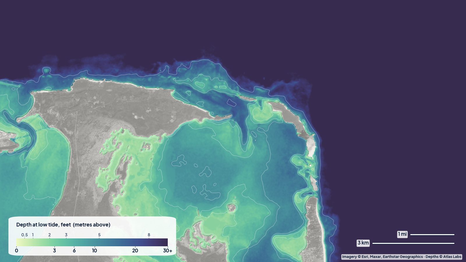
Eleuthera and Harbour Island Depth Map: Pink Sand, Sandbars and the Devil's Backbone
Depths for Harbour Island, the Eleuthera sandbars, Spanish Wells, the Devil's Backbone passage and the sheltered west-coast bays, with tides and hazards.
Guides
Grouped by region. Each guide opens the live depth map of its spot; the daily reports cover this week's windows and tides.
7 guides
BahamasDepths for Harbour Island, the Eleuthera sandbars, Spanish Wells, the Devil's Backbone passage and the sheltered west-coast bays, with tides and hazards.
 Bahamas
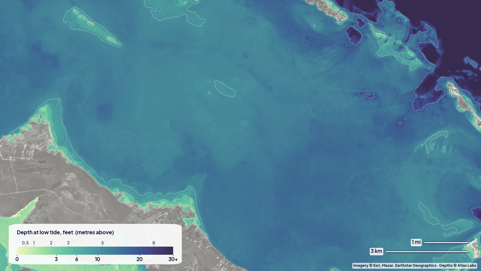
Sea of Abaco depths for the main channel, Hope Town and Marsh Harbour entrances, Tahiti Beach sandbars and reefs, with tides, launches and hazards.
 Bahamas
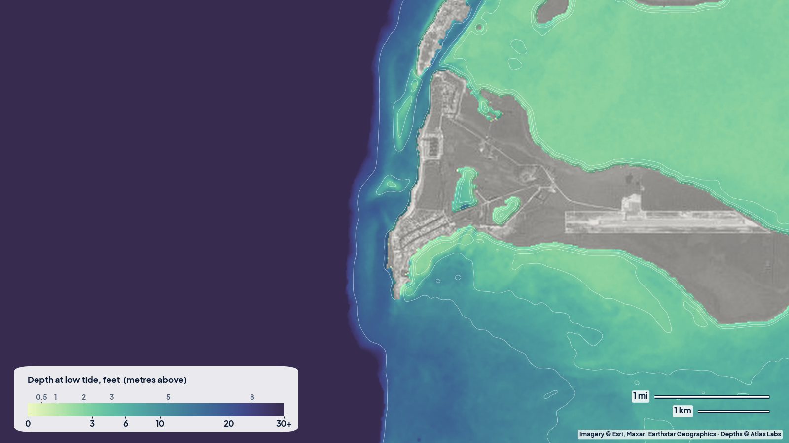
Bimini depths from the harbour channel to the 0-5 ft east-side flats, the Sapona wreck and the Gulf Stream edge, with access, tides and hazards.
 Bahamas
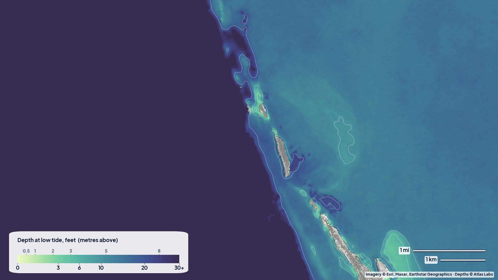
How deep the water is around North and South Bimini, Gun Cay and Cat Cay, read from a real depth map: the shallow flats behind Bimini, the even bank to the east, and the sudden drop into the Gulf Stream.
 Bahamas
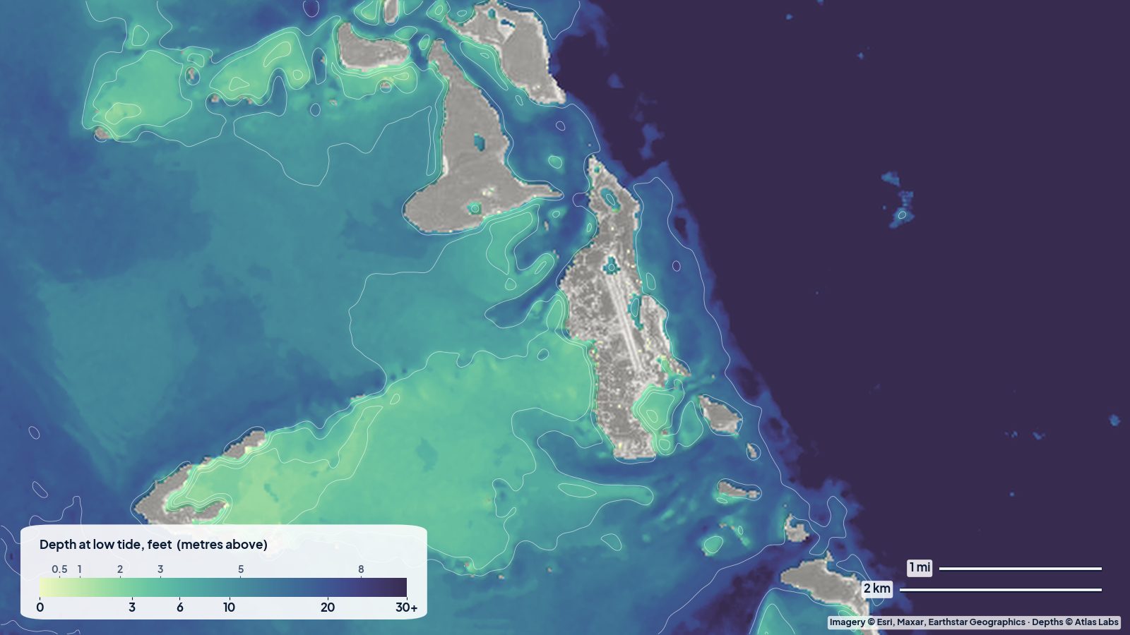
A real depth map of the central Exumas: how deep the bank is west of Staniel Cay, Big Major and Great Guana Cay, where the shallow sand fans spread out, and where Exuma Sound drops away.
 Bahamas
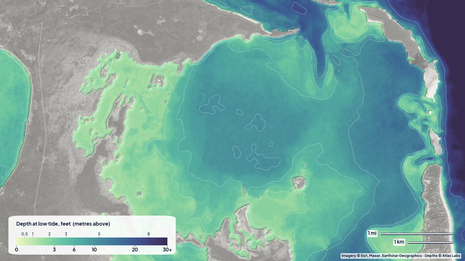
A real depth map of North Eleuthera: the shallow flats on the bay side of Harbour Island, the deeper basin in the middle of the bay, and the reef shelf of the Devil's Backbone along the north shore.
 Bahamas
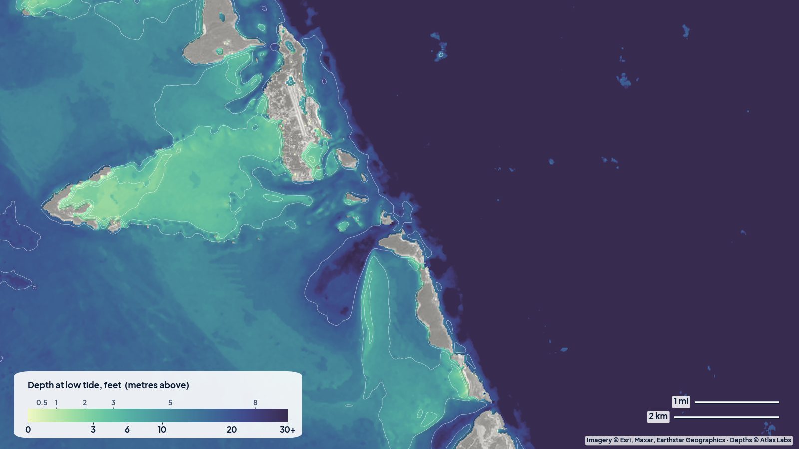
How deep the water is around Staniel Cay: the Exuma Bank, the cuts, Thunderball Grotto, Pig Beach and the sandbars, with anchorages, tides and hazards.
6 guides
 Florida Keys
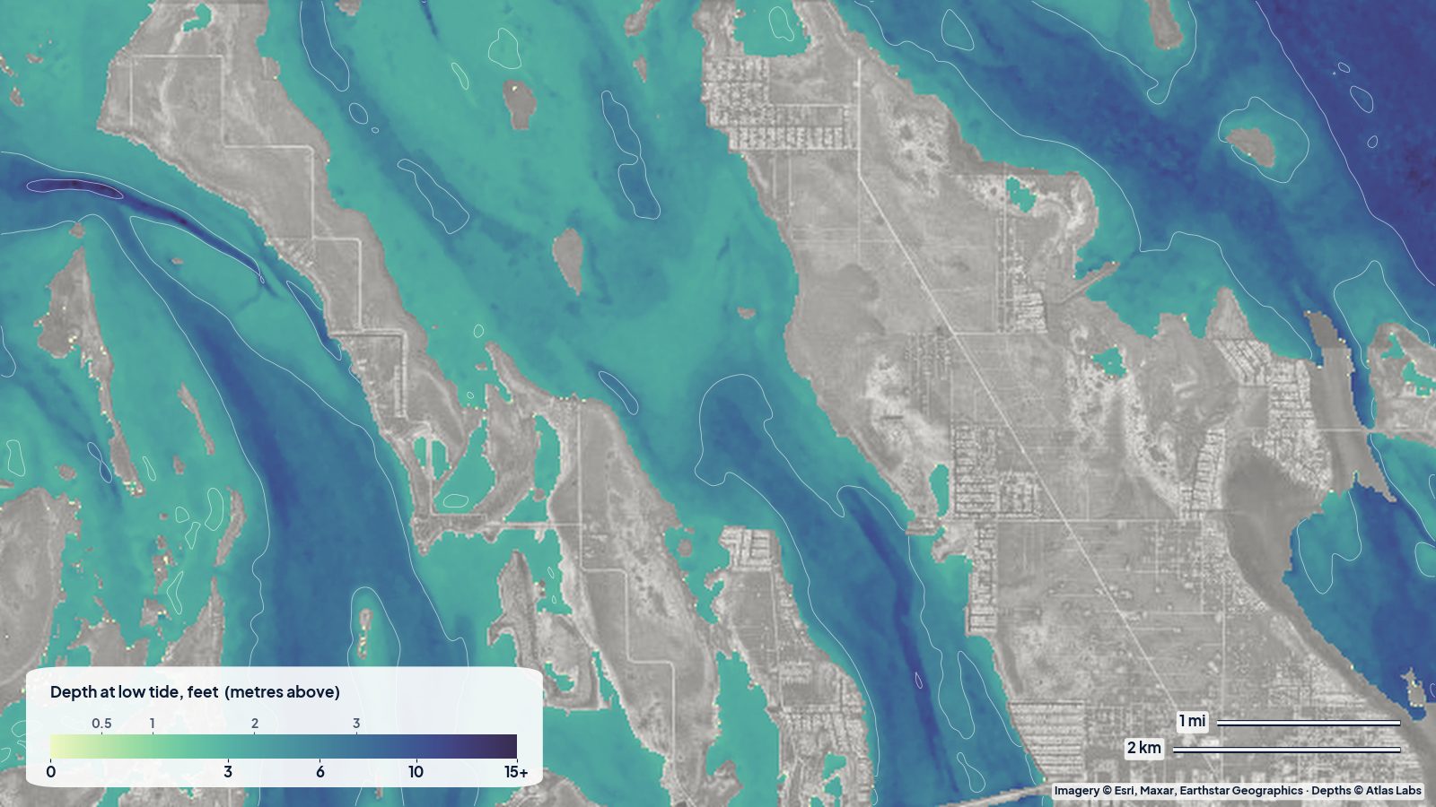
Three real depth maps of the Middle, Lower and Upper Keys, read the way a kayaker or skiff captain would: where the flats are, where the channels run, and how much water to expect at low tide.
 Florida Keys
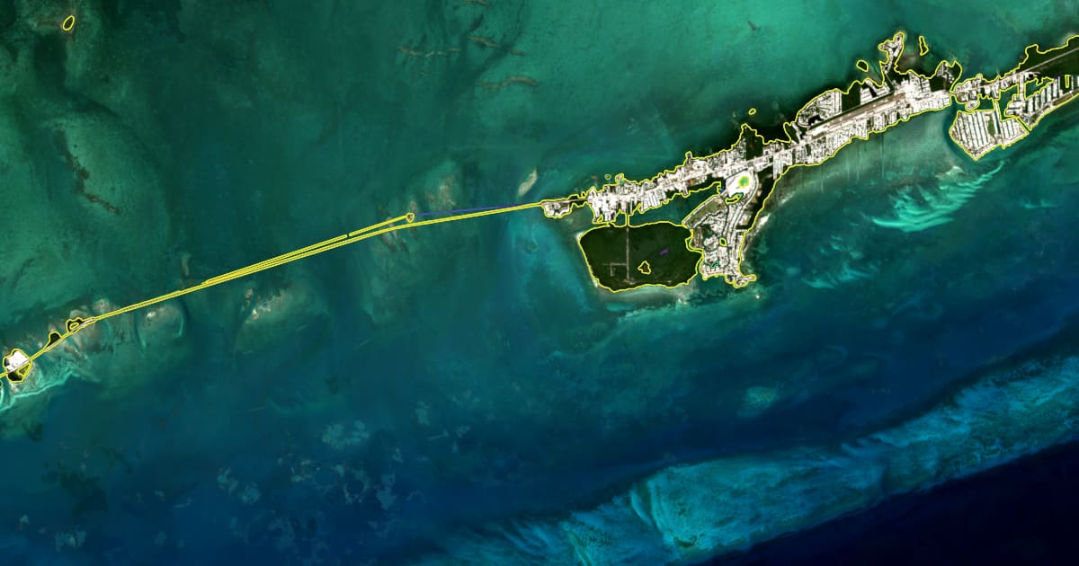
A satellite shoreline map of the Middle Keys around Marathon, one line per year from 2017 to 2026: two thirds of the coast is stable, a quarter is growing, one tenth is retreating, and a few spots lose more than 10 m a year.
Florida KeysAn honest accuracy report for ShoalScope's first depth maps: the Abacos, Destin, Biscayne Bay, Florida Bay, the Keys and Pine Island Sound, checked against independent laser soundings from space.
 Florida Keys
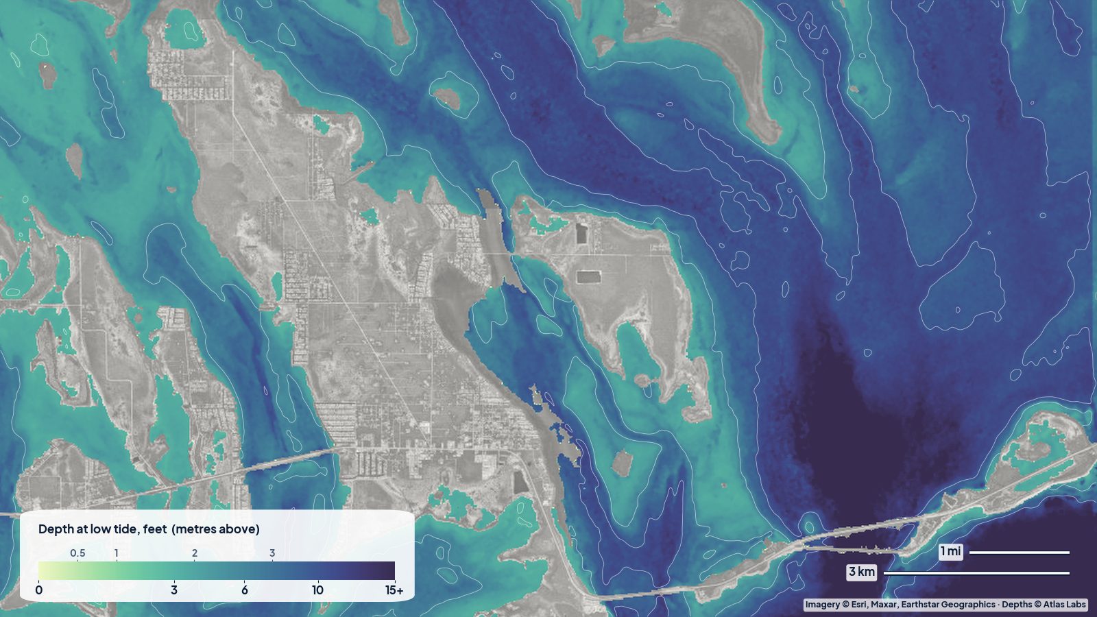
Water depth around Bahia Honda State Park: Calusa and Sandspur beaches, the old bridge channel, the bayside flats, launch spots, tides and hazards.
 Florida Keys
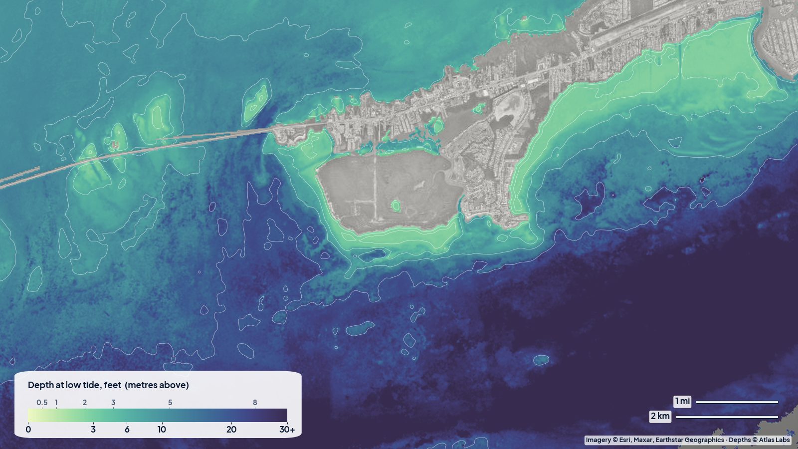
How deep the water is around Marathon, Boot Key and the Seven Mile Bridge flats, with launch ramps, tides, hazards and a live satellite depth map.
 Florida Keys
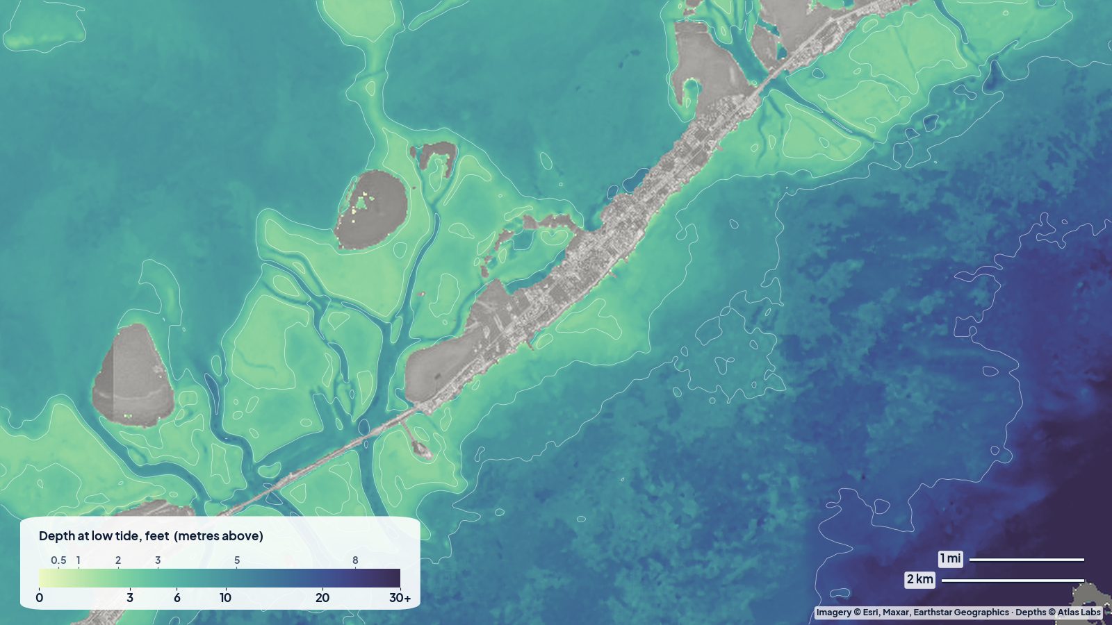
Depth guide to the Key Largo and Islamorada backcountry: Blackwater Sound, the Everglades flats, Pennekamp patch reefs, launch ramps, tides and hazards.
3 guides
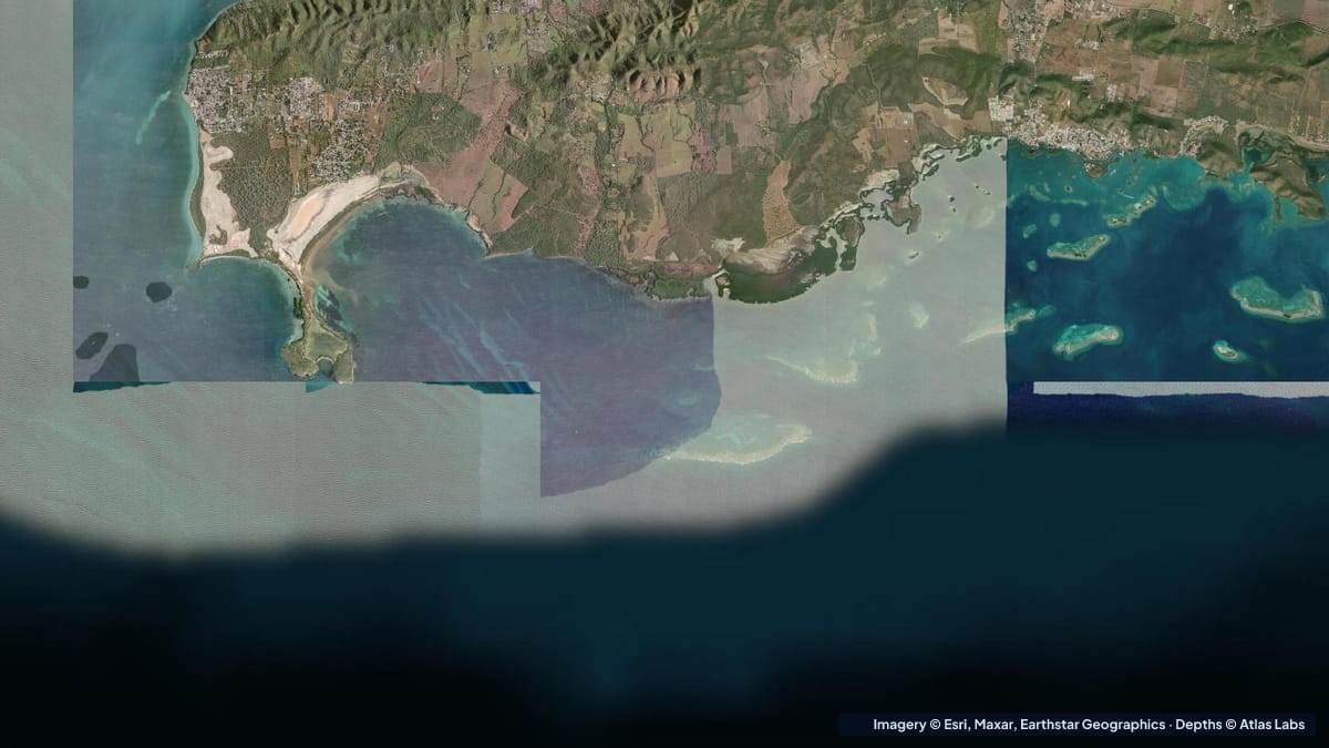 Puerto Rico
Depths for La Parguera's mangrove cays, reef flats, bio bay and shelf edge, with launches, wind, hazards and advice for kayaks and skiffs.
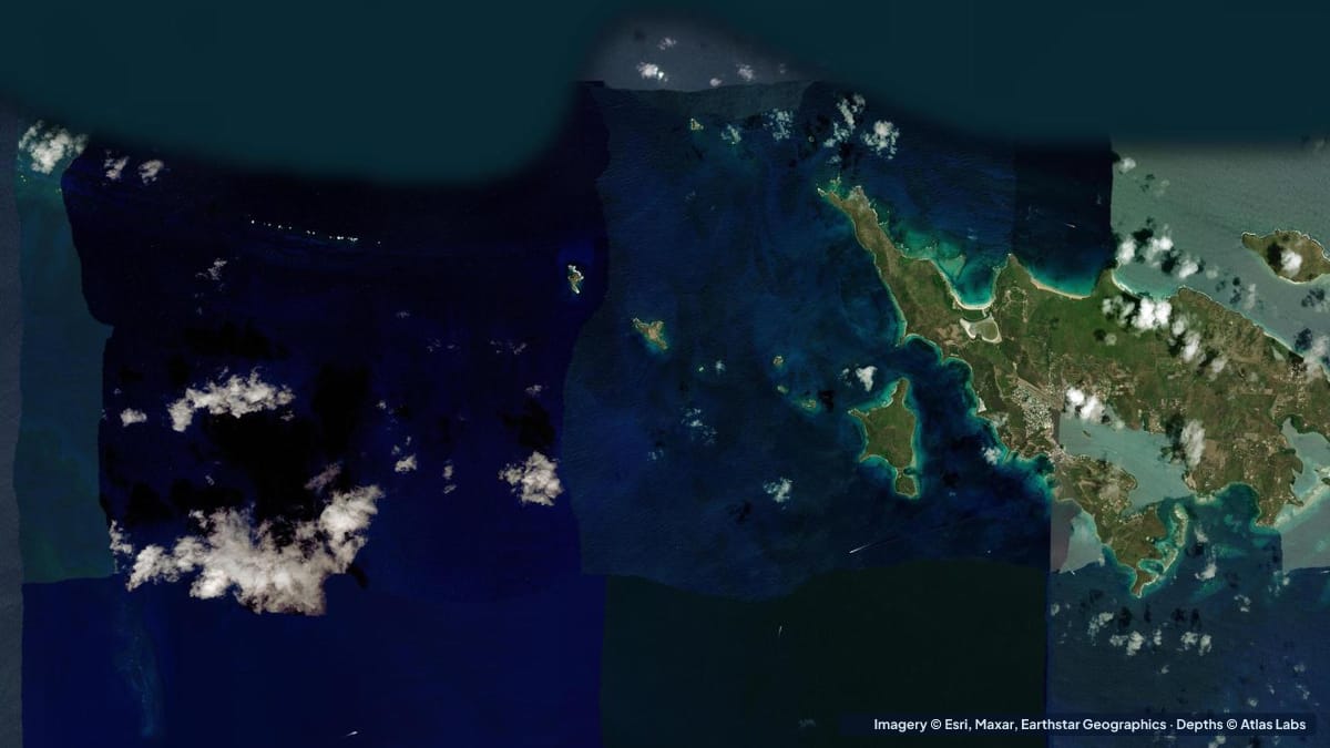 Puerto Rico
Water depths at Culebra's best beaches and reefs: Flamenco, Tamarindo, Carlos Rosario, Melones and Culebrita, with kayak launches, wind and hazards.
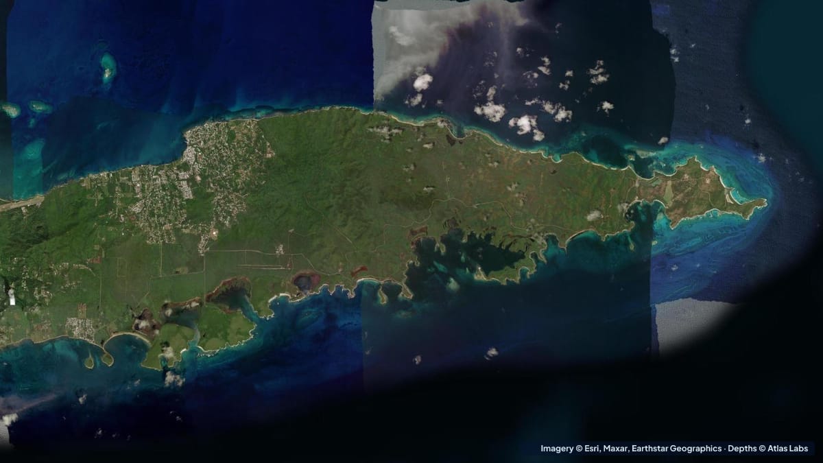 Puerto Rico
Depths for Vieques' sheltered south-coast bays and reefs, from Sun Bay and Esperanza to bioluminescent Mosquito Bay, with launches, wind and hazards.
2 guides
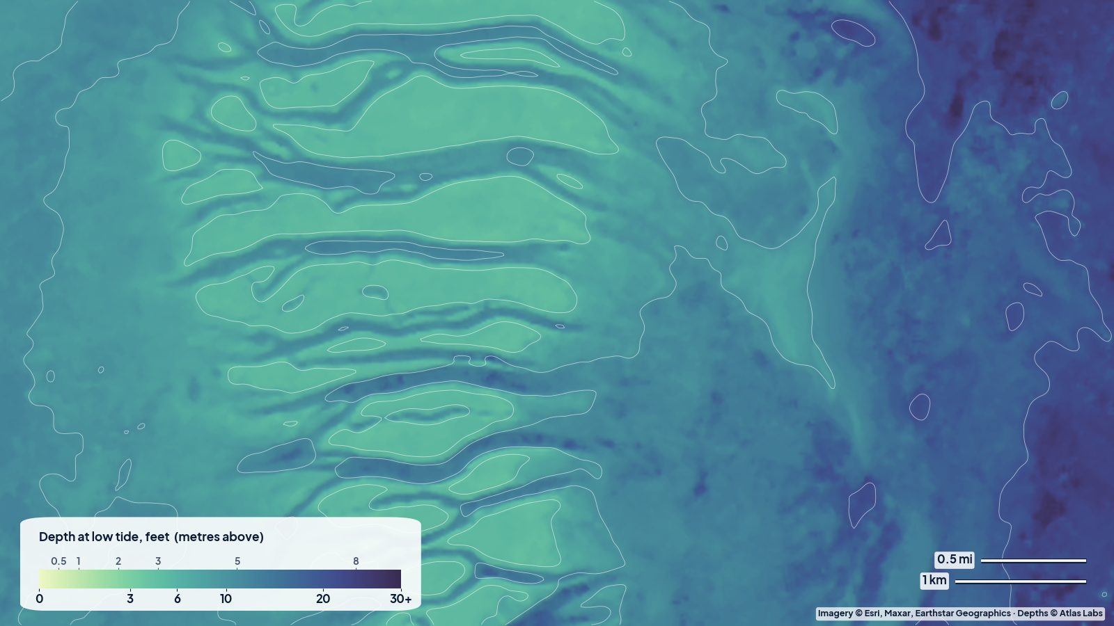 Biscayne Bay
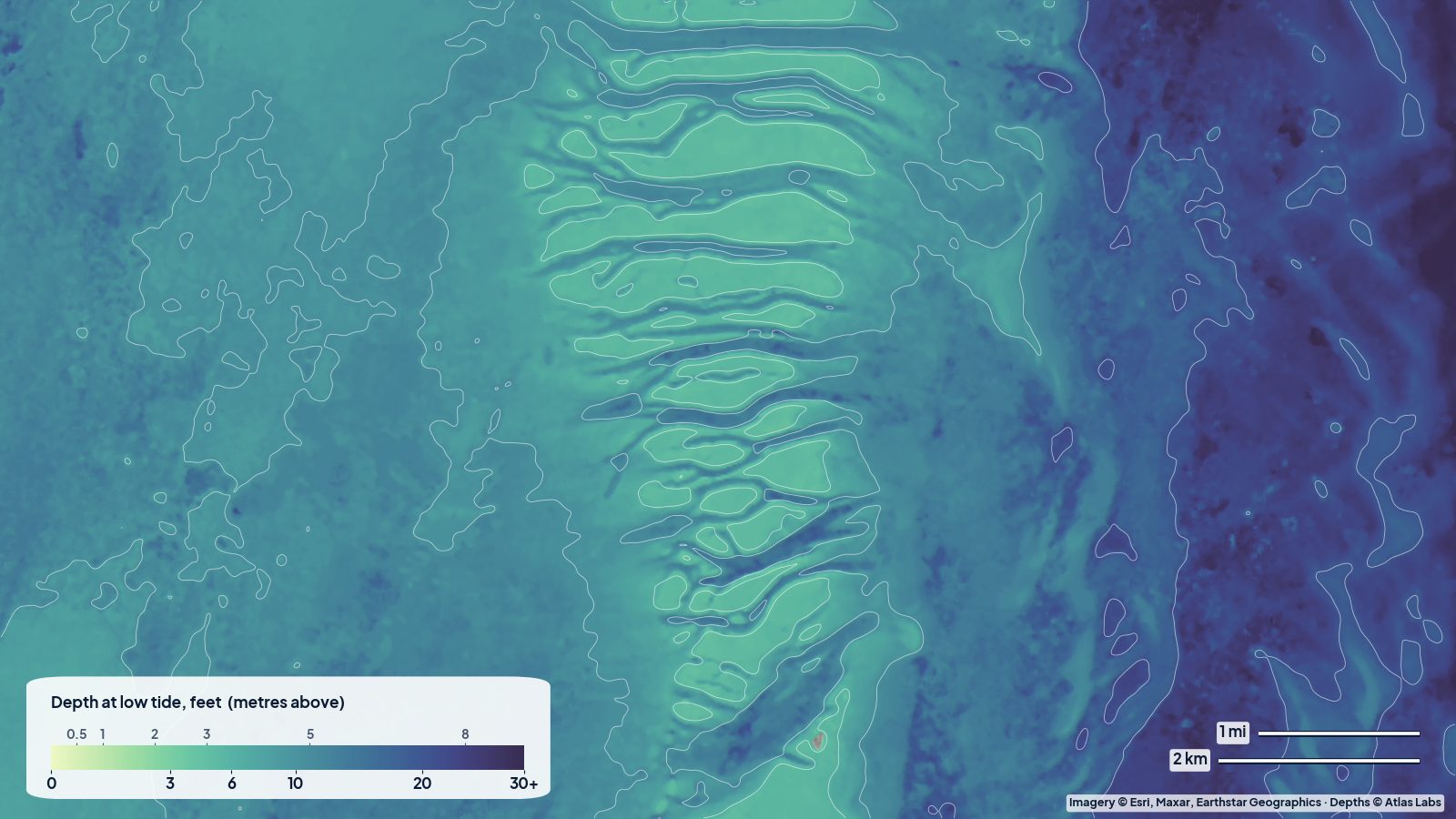
Where the shallow water is in south Biscayne Bay: the Safety Valve banks and cuts, the Stiltsville flats, the sandbar area off Key Biscayne and Boca Chita, read from a real depth map.
 Biscayne Bay
How deep Biscayne Bay really is, from the Nixon sandbar and Stiltsville flats to Elliott Key, with launches, tides, hazards and a live satellite depth map.
2 guides
 Florida Bay Everglades
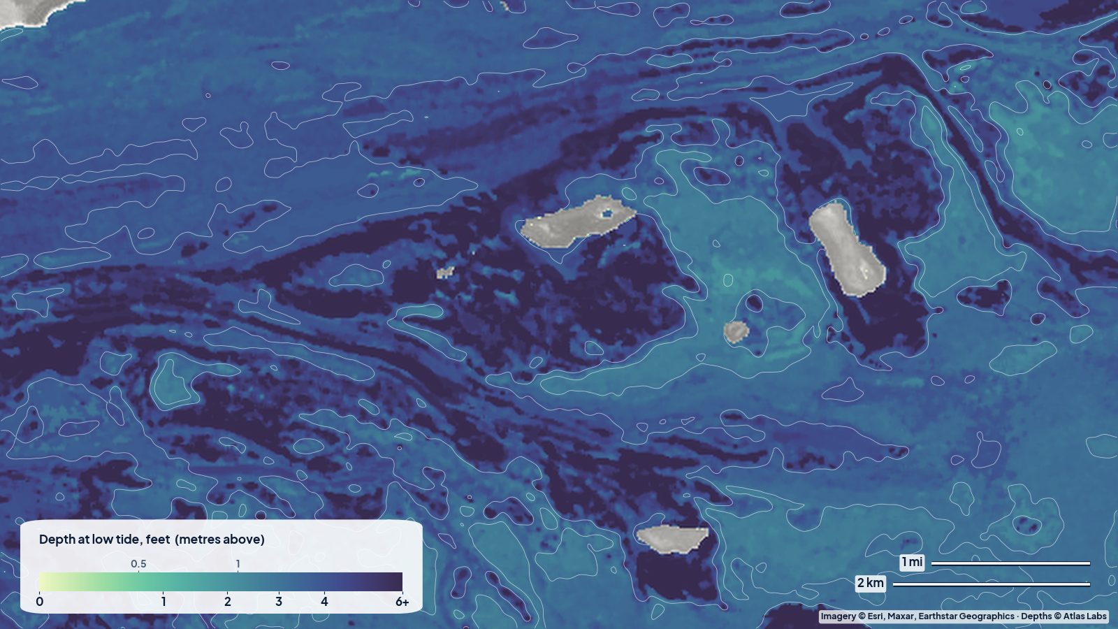
A skiff and kayak guide to Florida Bay off Flamingo built on a real depth map: how shallow the open bay is, where the natural channels and deeper lakes run, and how to plan around the tide.
 Florida Bay Everglades
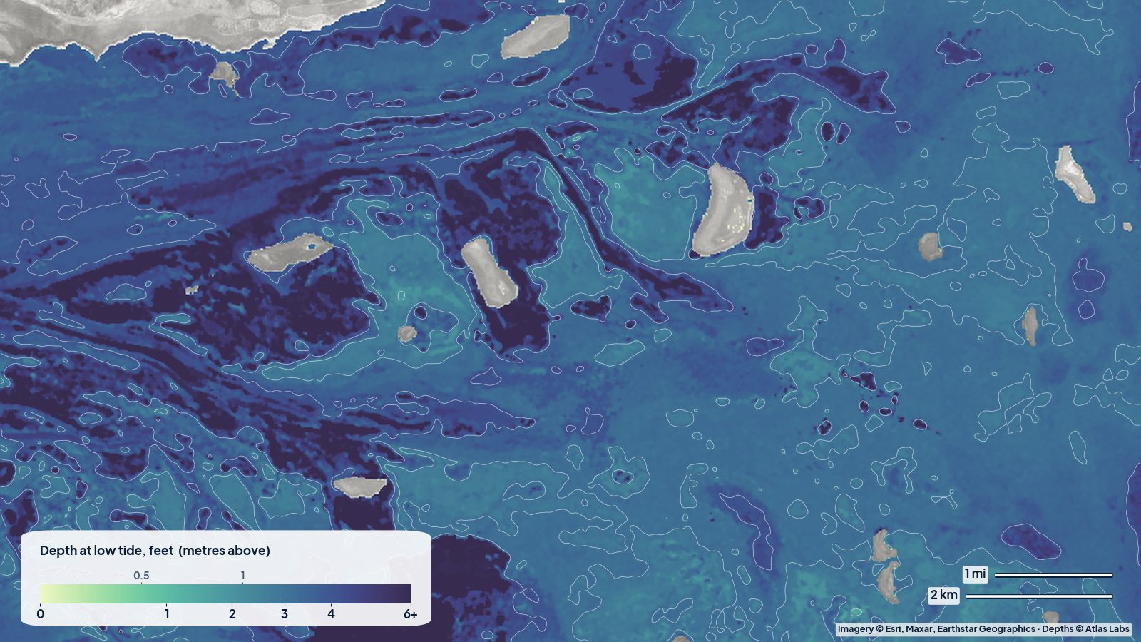
Florida Bay is mostly under 5 ft deep. Zone-by-zone depth guide for Flamingo, the banks and basins, launch ramps, tides, hazards and skiff draft advice.
2 guides
 Florida East Coast
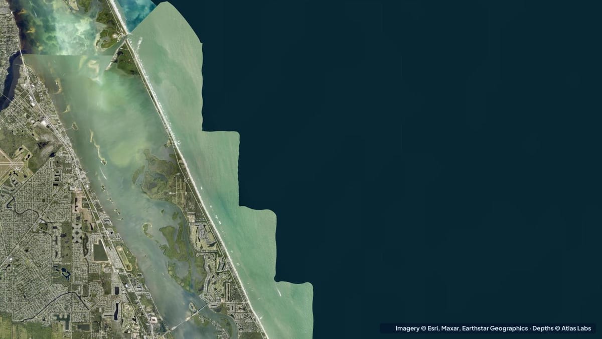
Depth guide to Sebastian Inlet and the Indian River Lagoon flats: inlet channel, sandbars, spoil islands, launches, tides, hazards and draft advice.
 Florida East Coast
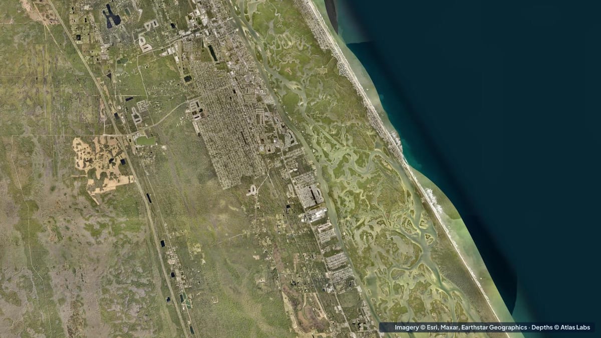
Mosquito Lagoon averages only 1 to 4 ft deep. Zone depths for the flats, the ICW channel and Canaveral National Seashore, plus launches, tides and hazards.
2 guides
 Hawaii
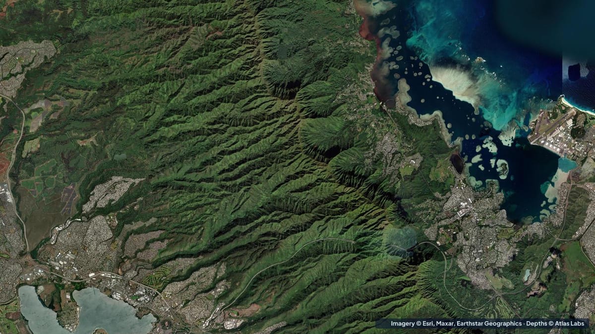
The Kaneohe sandbar goes from ankle deep to chest deep with the tide, next to a 30 ft drop. Zone depths, kayak routes, launches, tides, wind and hazards.
 Hawaii
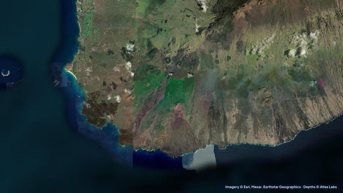
How deep Molokini is inside the crater and on the Back Wall, plus Maui's shore reefs at Makena, Maluaka and Ahihi Kinau, with access and hazards.
2 guides
 Southwest Florida
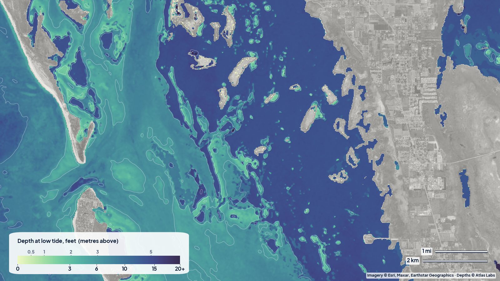
Typical depths in Pine Island Sound, Captiva Shoals and Redfish Pass, plus launches, Great Calusa Blueway tips, tides, hazards and skiff draft guidance.
 Southwest Florida
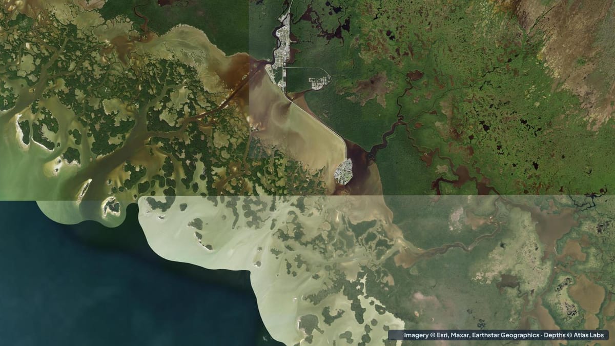
How deep the Ten Thousand Islands are, from the mud flats and oyster bars to the passes and Gulf, with launches, tides, hazards and kayak route advice.
2 guides
 Tampa Bay
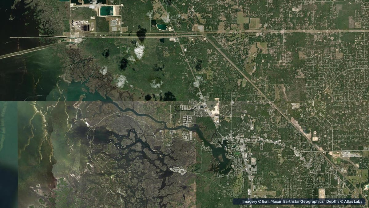
How deep Crystal River, Kings Bay and Homosassa are, from the manatee springs to the Gulf flats, with kayak launches, tides, hazards and draft advice.
 Tampa Bay
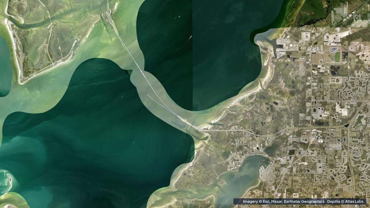
Depth guide to Tampa Bay's best shallow water: Fort De Soto, Mullet Key Bayou, Egmont Channel edges and Weedon Island, with launches, tides and hazards.
2 guides
 Texas Coast
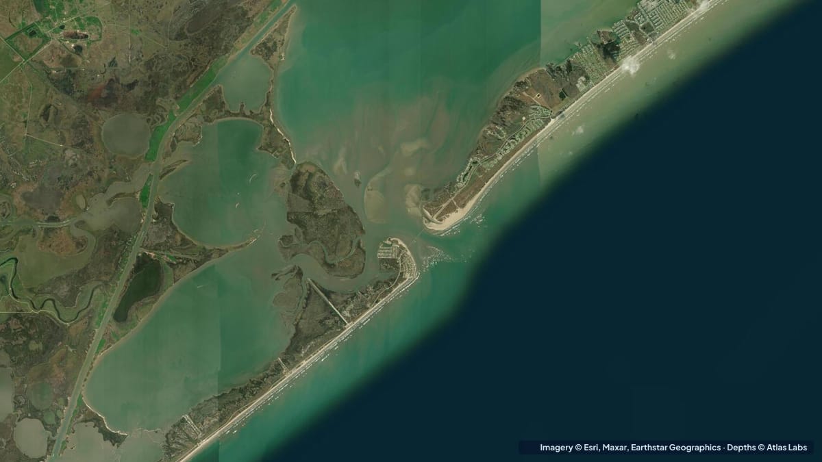
Christmas Bay is a 4,000-acre bay you can stand in almost everywhere. Zone depths, the Bluewater Highway launches, oyster reefs, tides, hazards and draft.
 Texas Coast
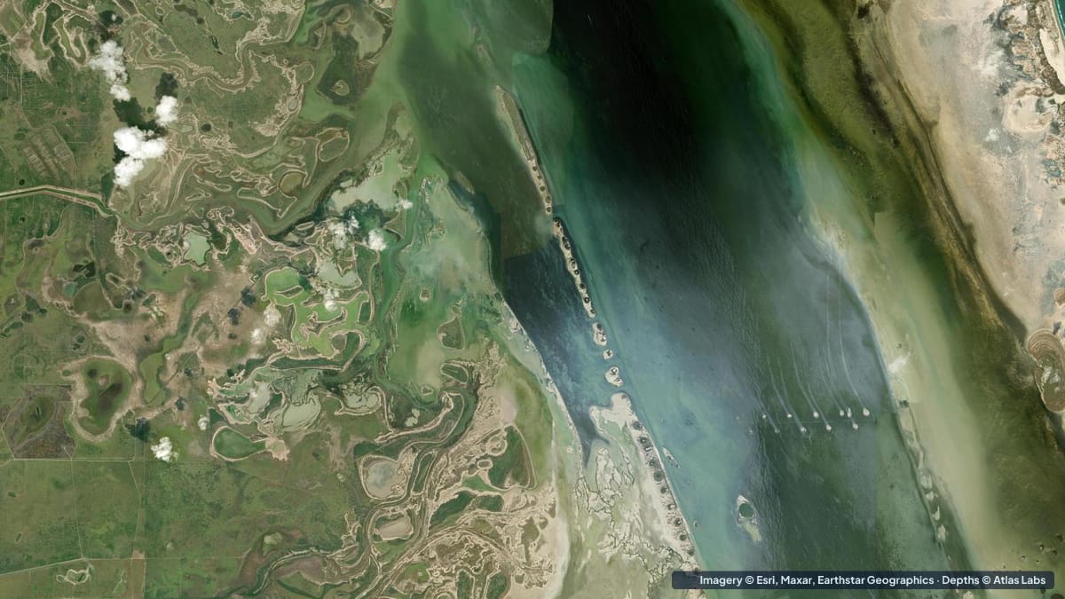
The Laguna Madre averages about 3.5 ft with miles of flats under 2 ft. Zone depths, launches, wind, hazards and draft advice for kayaks and skiffs.
2 guides
 USVI
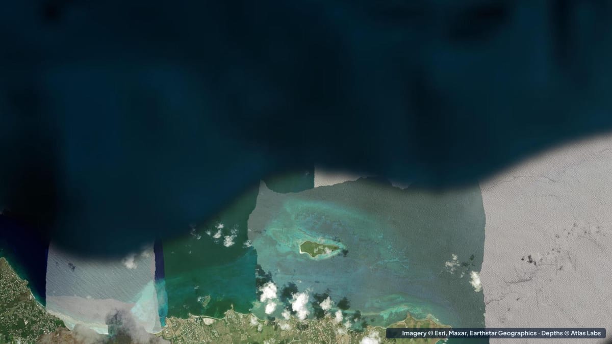
How deep Buck Island Reef National Monument is: the lagoon, the underwater snorkel trail, Turtle Beach and the shelf, with access, moorings and hazards.
 USVI
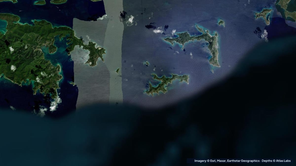
How deep Francis Bay, Maho Bay, Leinster Bay and Waterlemon Cay are, with kayak launches, moorings, wind, hazards and the best season on St John.
1 guide
 Belize Honduras
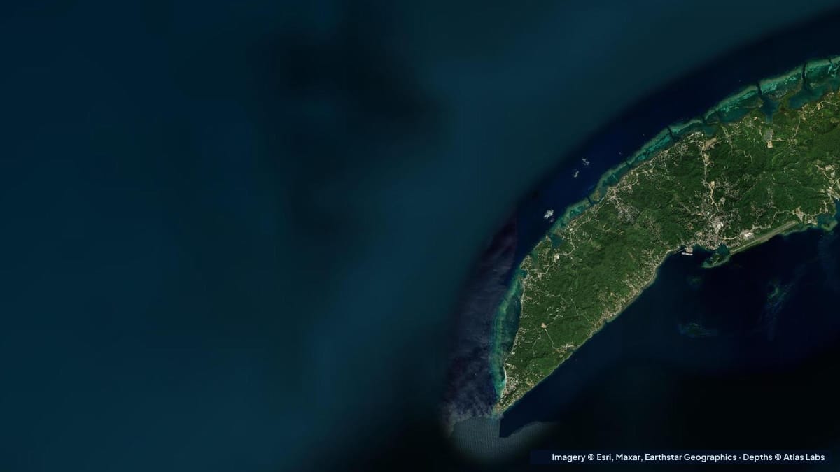
How deep West Bay, Roatan is from the beach to the reef wall, plus West End and Half Moon Bay, with access, wind, season and hazards for snorkelers.
1 guide
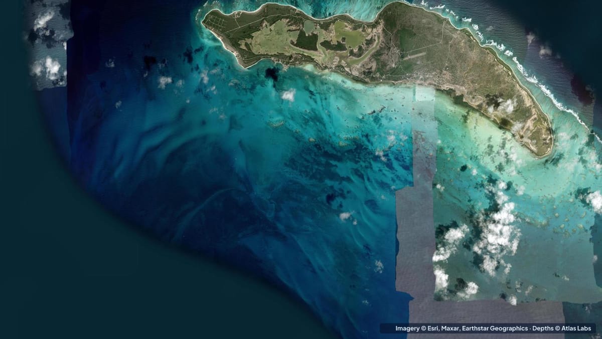 BVI
Anegada depths: the Setting Point channel and anchorage, the bonefish flats, Horseshoe Reef and the north-shore snorkel beaches, with hazards and tides.
1 guide
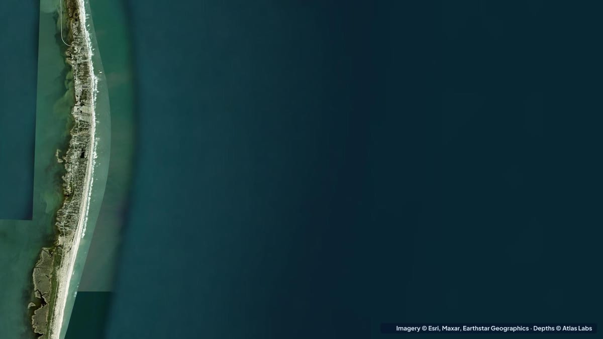 Carolinas Georgia
Pamlico Sound averages only 5 to 7 ft. Sound-side depths for Hatteras Island, Canadian Hole and Ocracoke, with launches, wind, hazards and draft.
1 guide
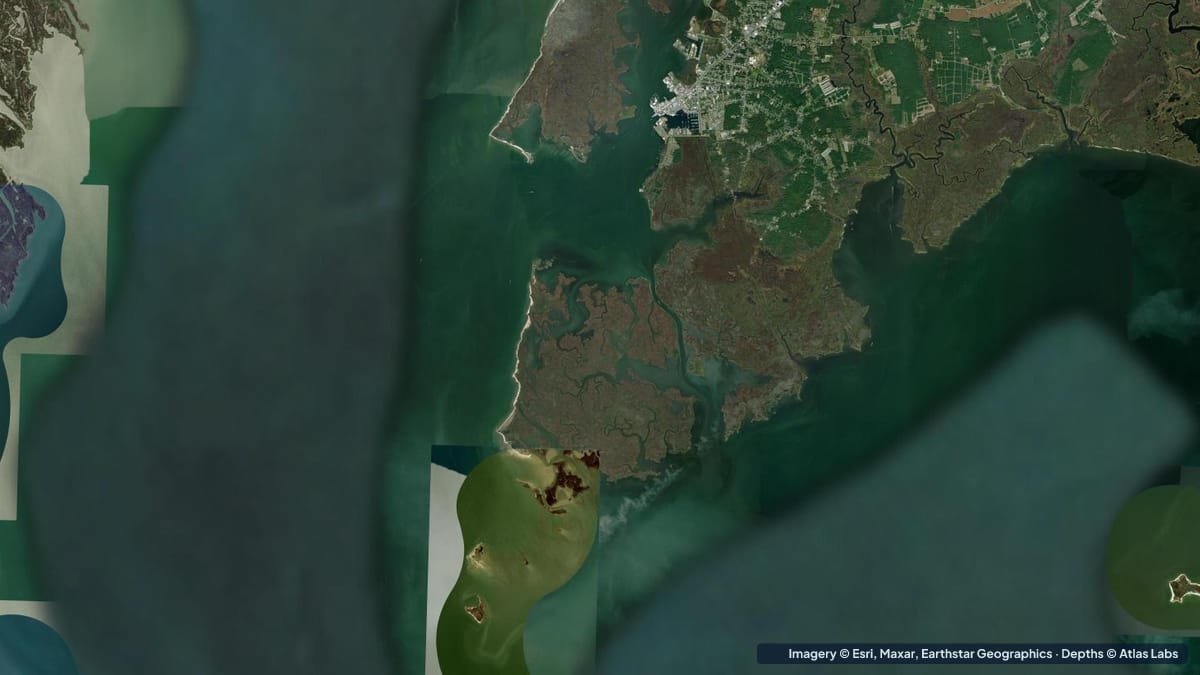 Chesapeake Mid-Atlantic
Depth guide to the Chesapeake's best shallow water: Tangier Sound eelgrass flats, Smith and Tangier islands, Crisfield launches, tides, hazards and draft.
1 guide
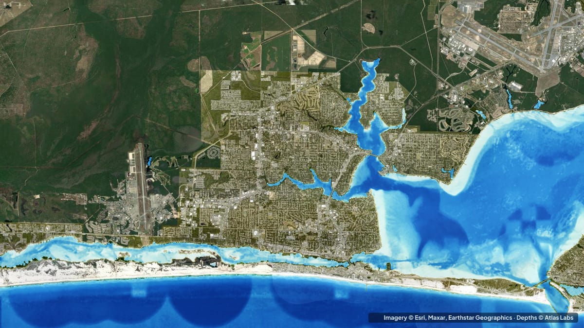 Florida Panhandle
Crab Island is a submerged sandbar in 1 to 5 ft of water next to a 20 ft channel. Zone depths, boat ramps, kayak routes, tides, hazards and draft advice.
1 guide
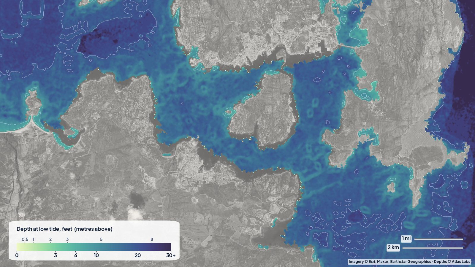 Italy Sardinia
A depth map of the La Maddalena archipelago and the Palau–Arzachena coast in north-east Sardinia: where the shallow, sandy bays are for swimming, kayaking and anchoring, and where the water gets deep.
1 guide
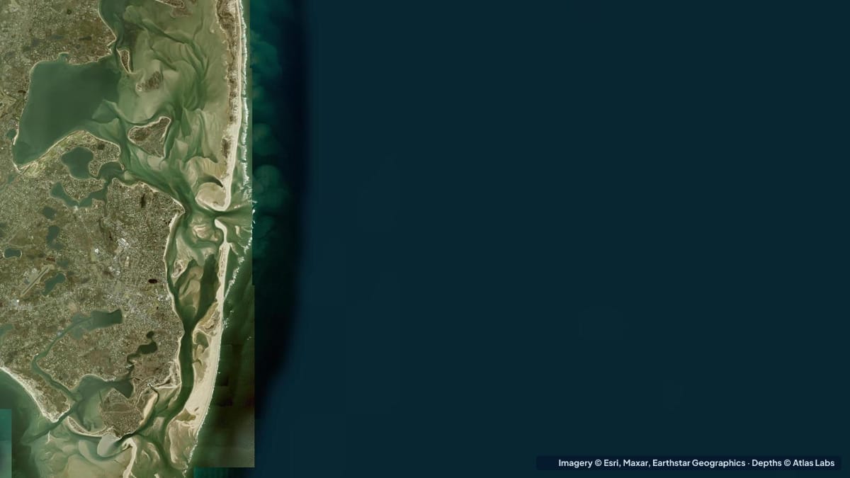 New England
Cape Cod's flats dry for a mile at low tide. Depths for Chatham Harbor, Monomoy, Pleasant Bay and the bayside flats, with launches, tides and hazards.
1 guide
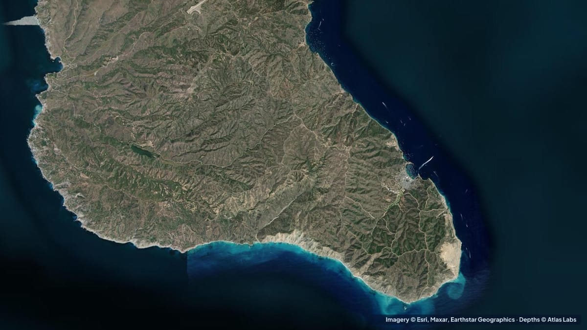 SoCal Channel Islands
Catalina gets deep fast. Depths for Isthmus Cove, Cat Harbor, Emerald Bay and the kelp coves around Two Harbors, with moorings, launches and hazards.
1 guide
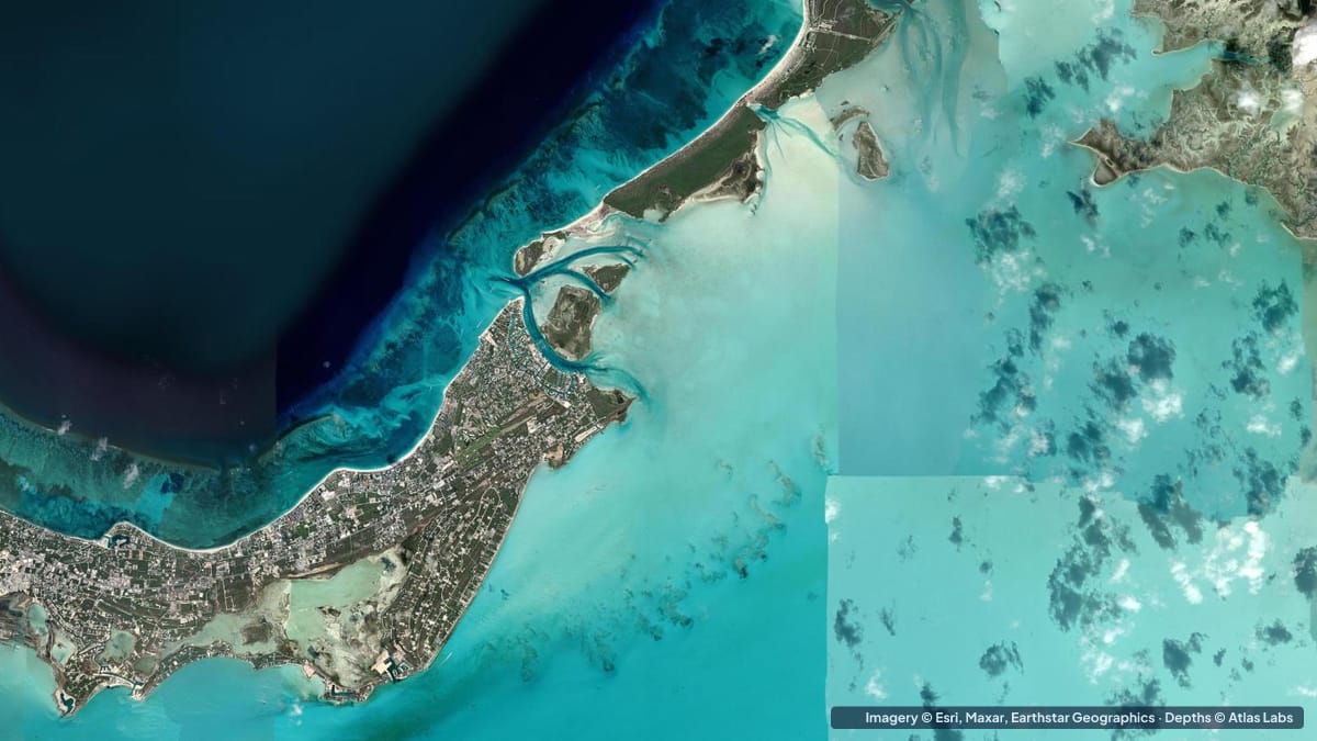 Turks Caicos
How deep Grace Bay is from the beach to the barrier reef: Bight Reef, Smith's Reef, the lagoon and the wall, with access, wind, tides and hazards.
1 guide
 UAE West
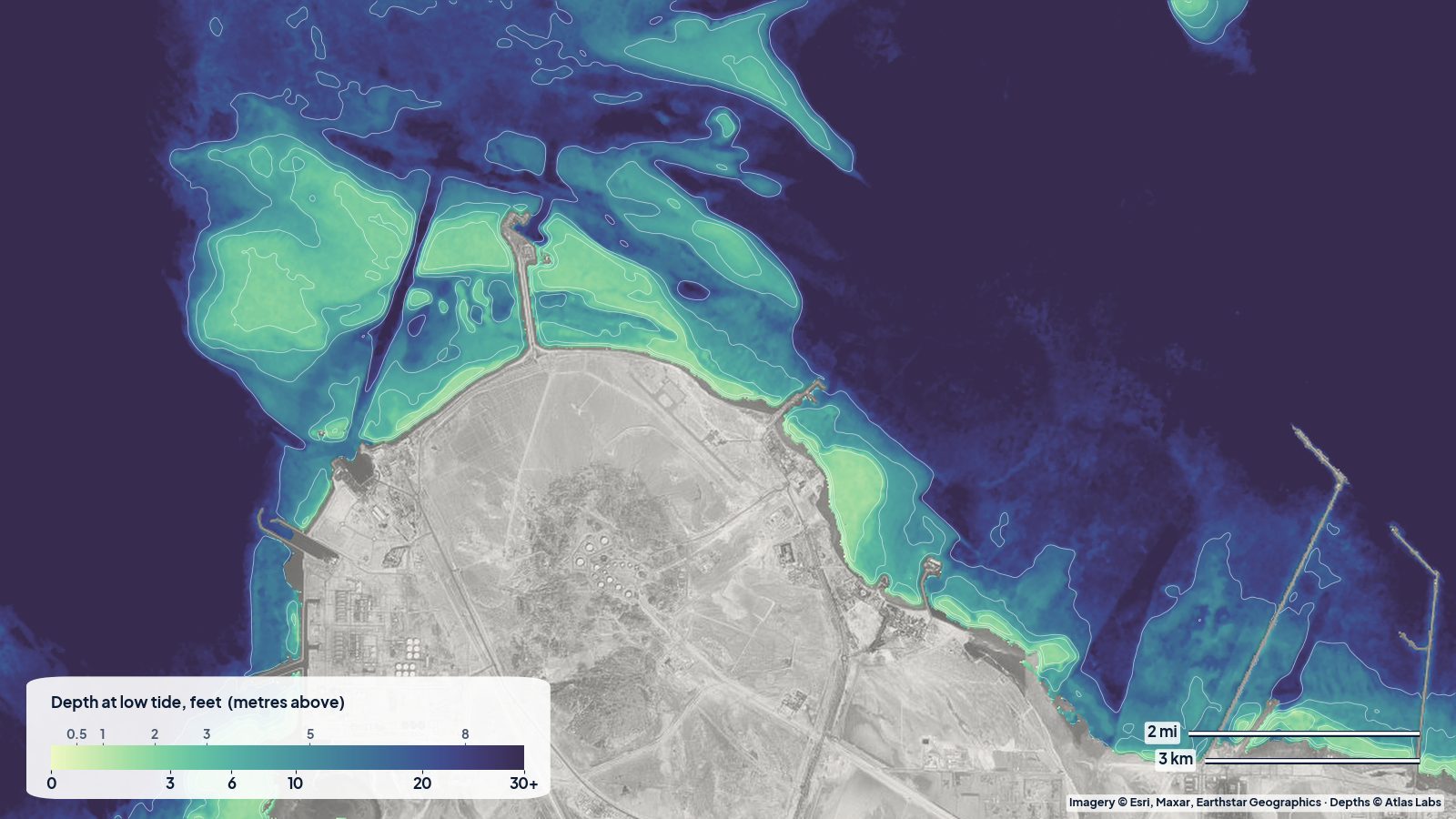
How deep the water is around Jebel Dhanna in Abu Dhabi's Al Dhafra region: the shallow beach water on the eastern shore, the sand banks to the north, and the deeper water toward Sir Bani Yas.