 ±0.87 mNew
Florida Keys
Marathon & Seven Mile Bridge, Florida Keys
- ±0.87 mtypical error
- 5,831laser soundings checked
- 362 km²of shallows
Updated 3 d agoToday …
Region
3 live depth maps · 6 guides
±0.87 mNewFlorida Keys
Updated 3 d agoToday …
 ±1.50 m
Florida Keys
Updated 3 d agoToday …
 ±1.16 m
Florida Keys
Updated 3 d agoToday …
 Florida Keys
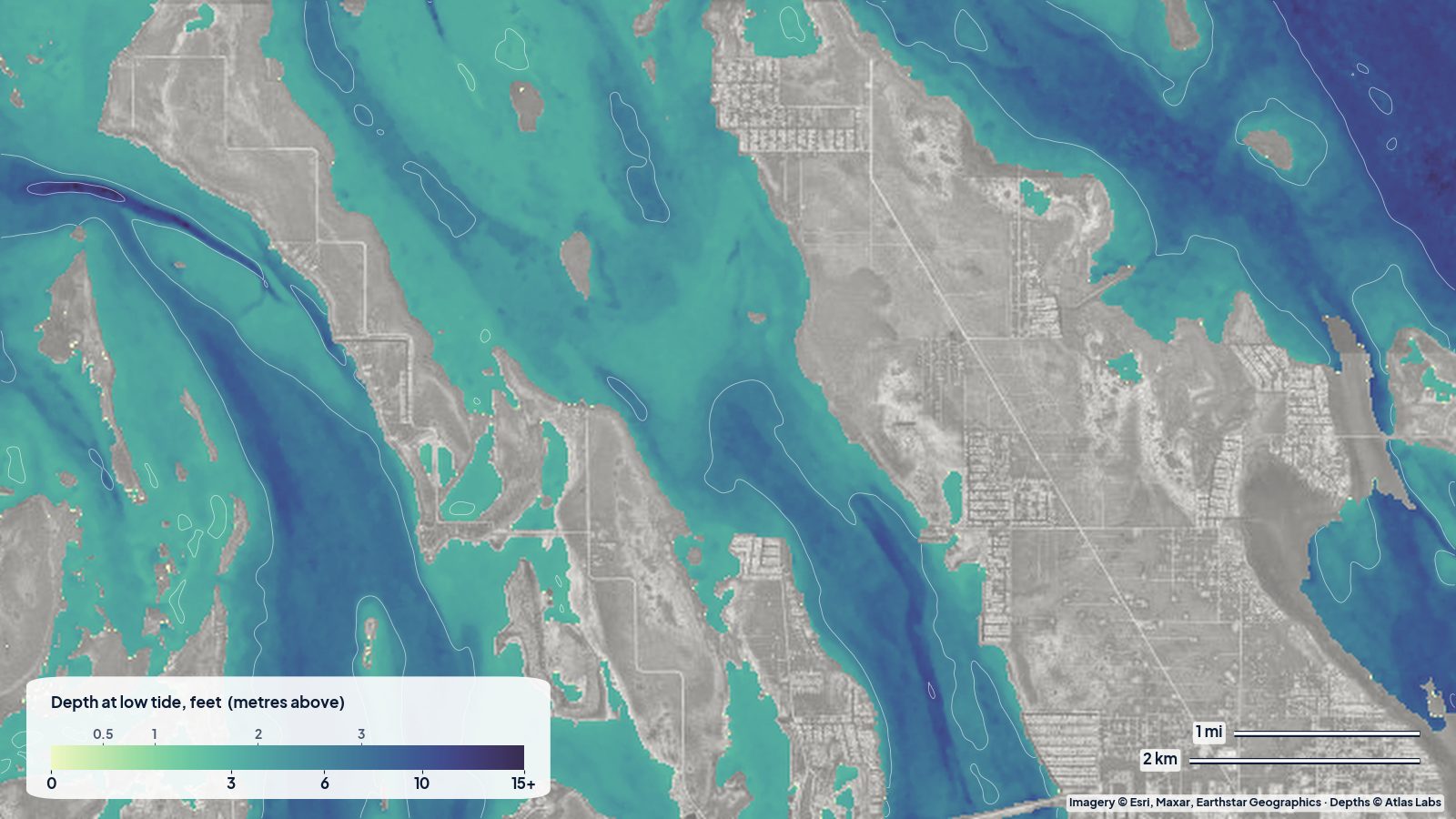
Three real depth maps of the Middle, Lower and Upper Keys, read the way a kayaker or skiff captain would: where the flats are, where the channels run, and how much water to expect at low tide.
 Florida Keys
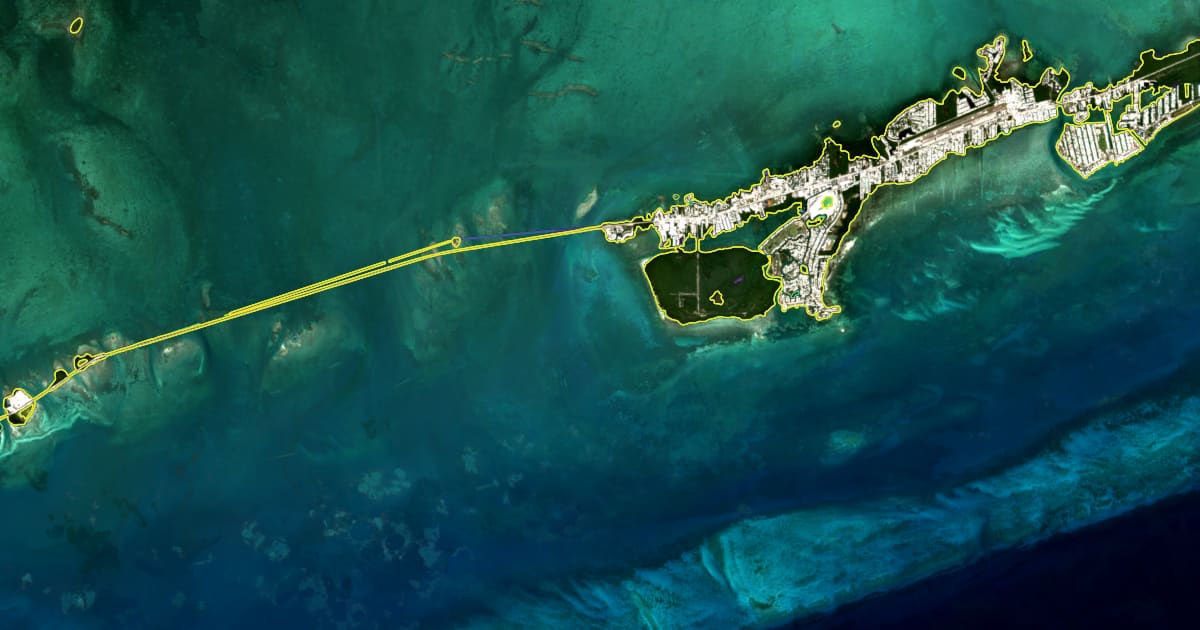
A satellite shoreline map of the Middle Keys around Marathon, one line per year from 2017 to 2026: two thirds of the coast is stable, a quarter is growing, one tenth is retreating, and a few spots lose more than 10 m a year.
 Florida Keys
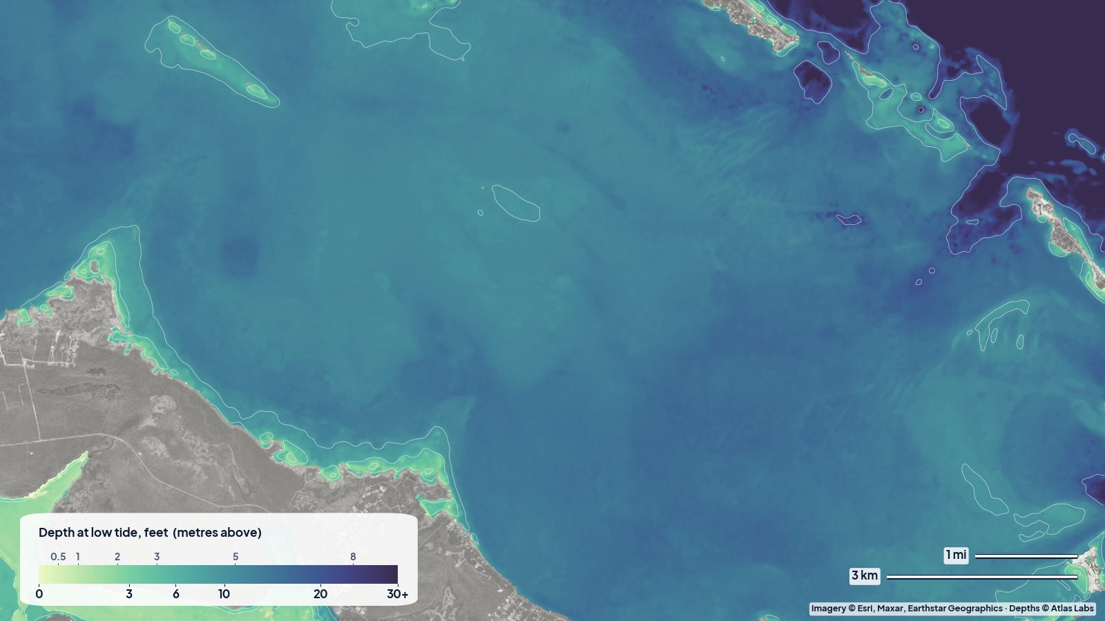
An honest accuracy report for ShoalScope's first depth maps: the Abacos, Destin, Biscayne Bay, Florida Bay, the Keys and Pine Island Sound, checked against independent laser soundings from space.
 Florida Keys
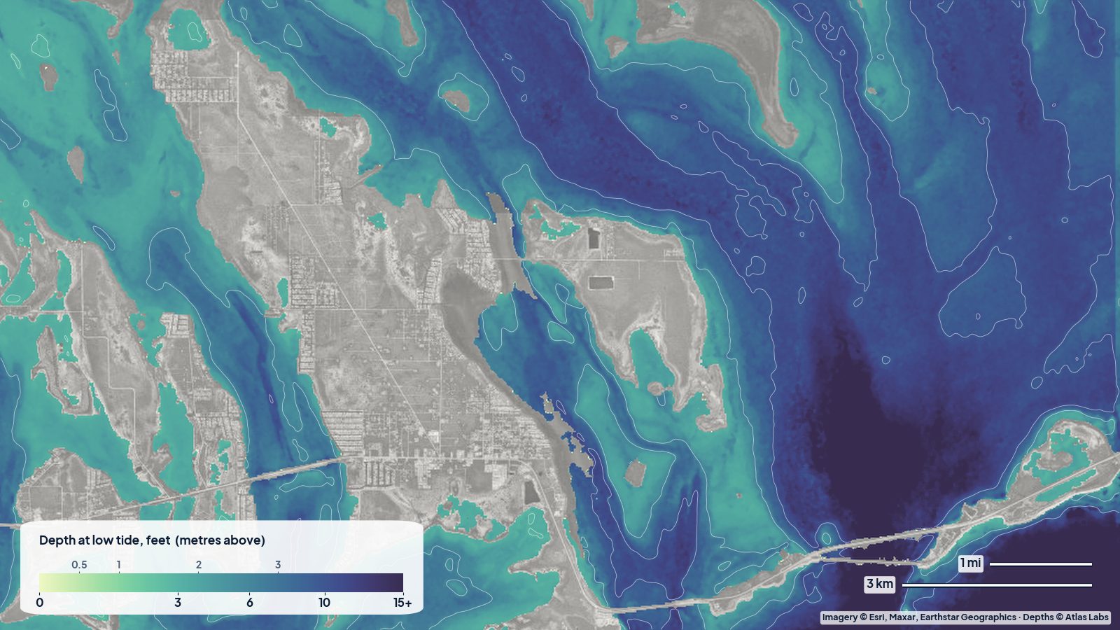
Water depth around Bahia Honda State Park: Calusa and Sandspur beaches, the old bridge channel, the bayside flats, launch spots, tides and hazards.
 Florida Keys
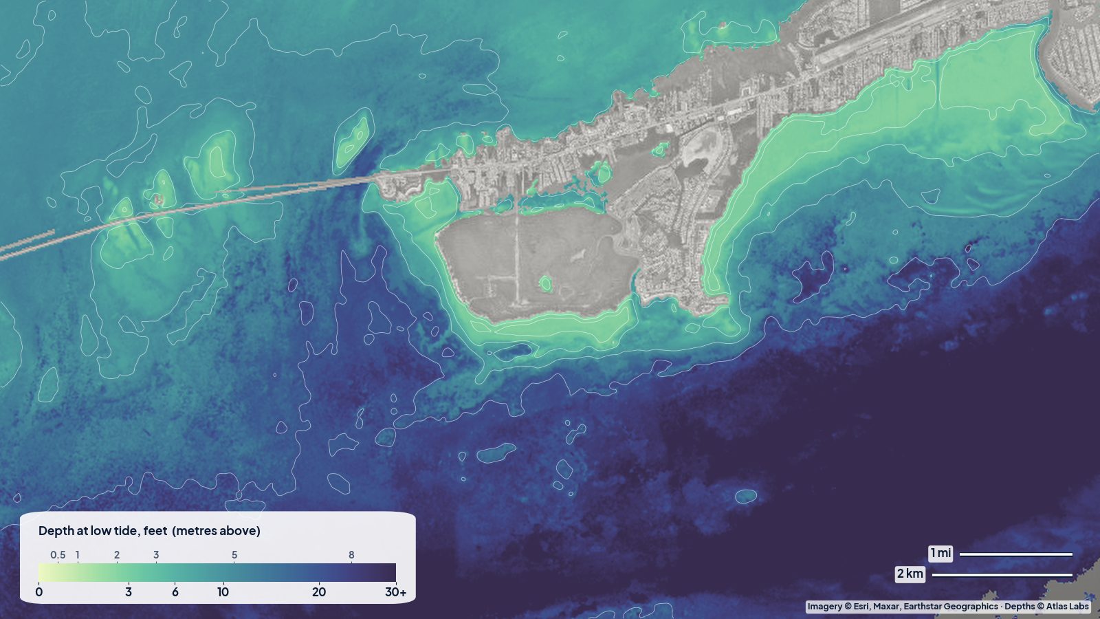
How deep the water is around Marathon, Boot Key and the Seven Mile Bridge flats, with launch ramps, tides, hazards and a live satellite depth map.
 Florida Keys
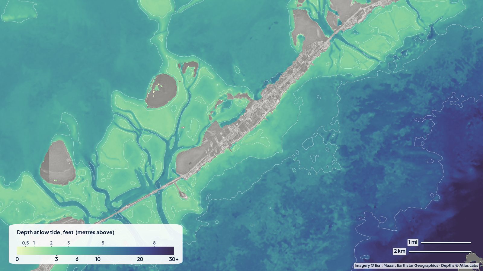
Depth guide to the Key Largo and Islamorada backcountry: Blackwater Sound, the Everglades flats, Pennekamp patch reefs, launch ramps, tides and hazards.