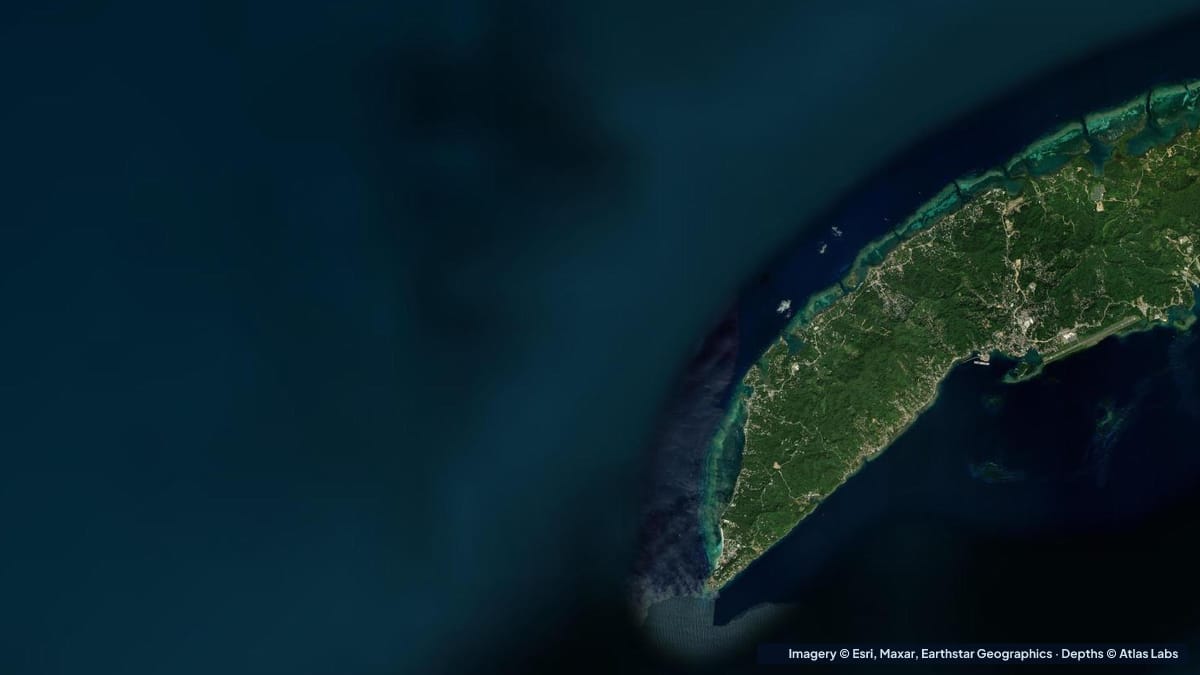
 Belize Honduras
Roatán West Bay Depth Map: The Fringing Reef, West End and the Shelf Drop
How deep West Bay, Roatan is from the beach to the reef wall, plus West End and Half Moon Bay, with access, wind, season and hazards for snorkelers.
Guides
Spot-by-spot guides with launches, tides, hazards and the live depth map, and a daily report on the week ahead: calm windows, tide windows and where the coast moved. Written by Atlas Labs.
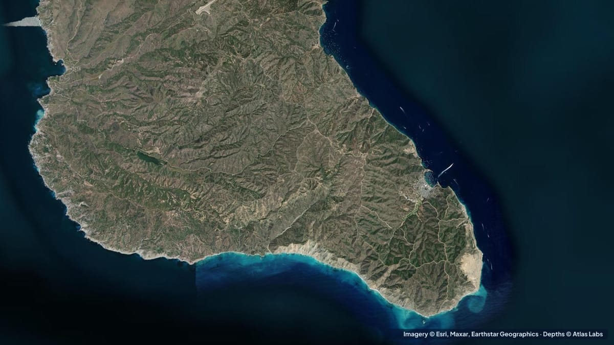
Catalina gets deep fast. Depths for Isthmus Cove, Cat Harbor, Emerald Bay and the kelp coves around Two Harbors, with moorings, launches and hazards.
Read the guideGuides
Belize HondurasHow deep West Bay, Roatan is from the beach to the reef wall, plus West End and Half Moon Bay, with access, wind, season and hazards for snorkelers.
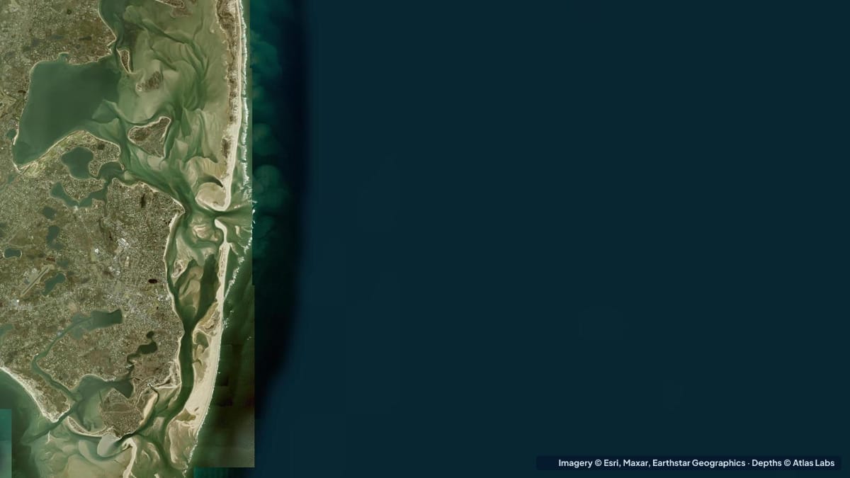 New England
Cape Cod's flats dry for a mile at low tide. Depths for Chatham Harbor, Monomoy, Pleasant Bay and the bayside flats, with launches, tides and hazards.
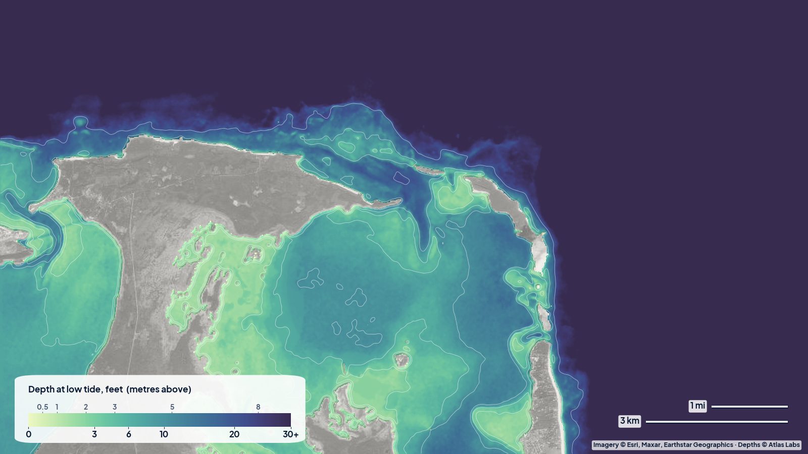 Bahamas
Depths for Harbour Island, the Eleuthera sandbars, Spanish Wells, the Devil's Backbone passage and the sheltered west-coast bays, with tides and hazards.
 Bahamas
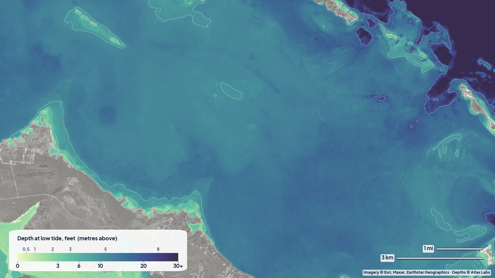
Sea of Abaco depths for the main channel, Hope Town and Marsh Harbour entrances, Tahiti Beach sandbars and reefs, with tides, launches and hazards.
 Chesapeake Mid-Atlantic
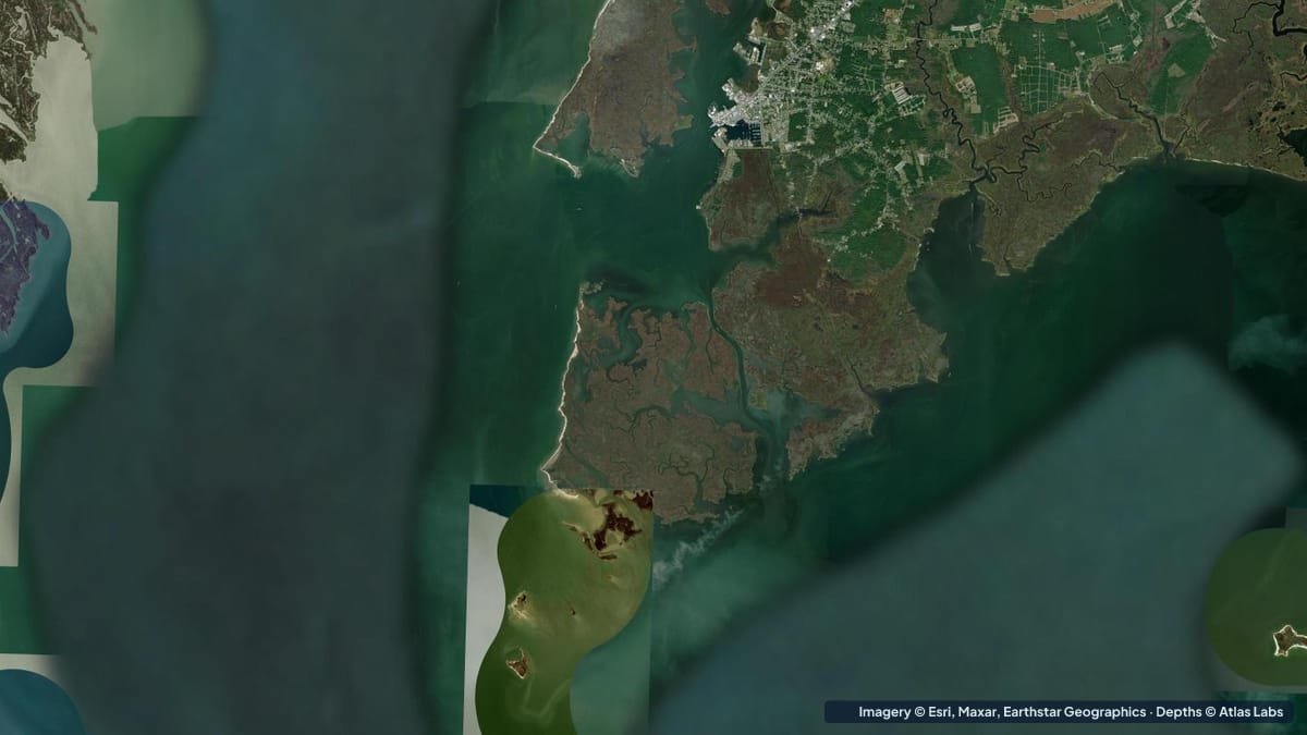
Depth guide to the Chesapeake's best shallow water: Tangier Sound eelgrass flats, Smith and Tangier islands, Crisfield launches, tides, hazards and draft.
 Bahamas
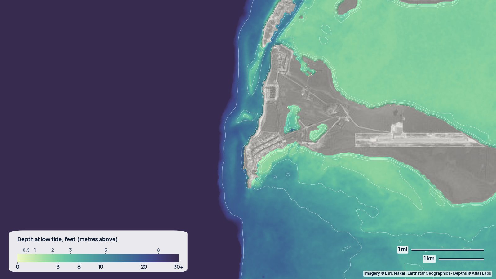
Bimini depths from the harbour channel to the 0-5 ft east-side flats, the Sapona wreck and the Gulf Stream edge, with access, tides and hazards.
 Carolinas Georgia
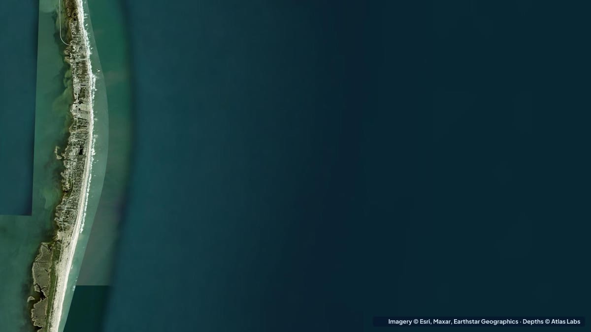
Pamlico Sound averages only 5 to 7 ft. Sound-side depths for Hatteras Island, Canadian Hole and Ocracoke, with launches, wind, hazards and draft.
 BVI
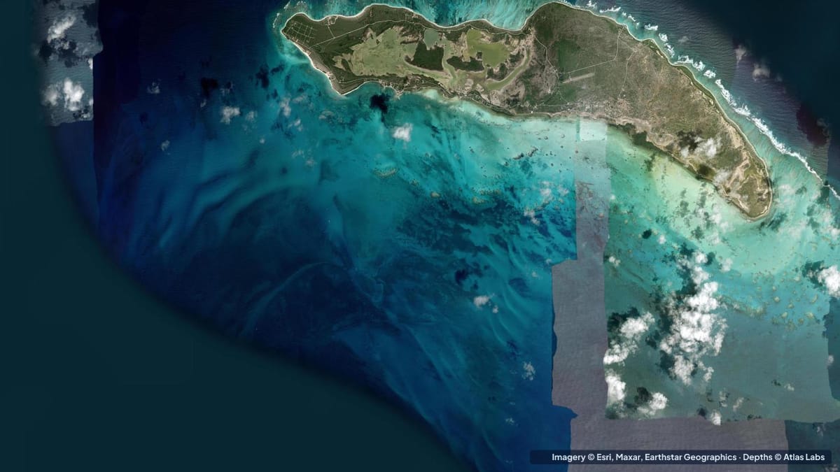
Anegada depths: the Setting Point channel and anchorage, the bonefish flats, Horseshoe Reef and the north-shore snorkel beaches, with hazards and tides.