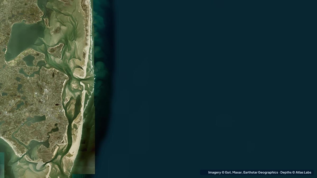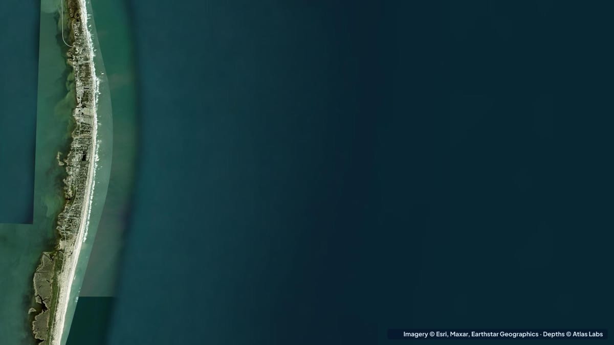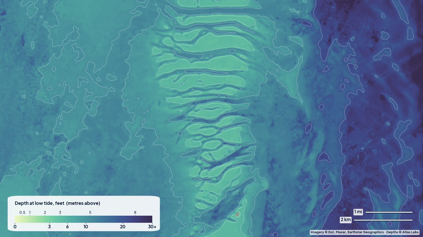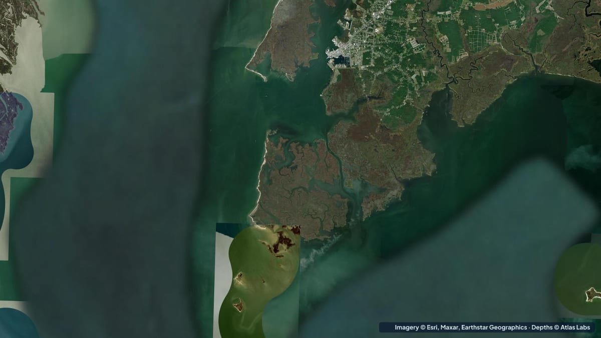
The Chesapeake Bay is deep in the middle and shallow almost everywhere else. The main shipping channel runs more than 100 ft (30 m) in places, but the great majority of the bay’s area is less than 20 ft (6 m), and the lower Eastern Shore is a world of marsh islands, eelgrass flats and shoals where a kayak or a skiff is the right tool. The best of it is Tangier Sound, between the Eastern Shore mainland and the chain of marsh islands from Deal Island south through Smith Island and Tangier Island. This is where the bay’s largest remaining eelgrass beds grow, where redfish and speckled trout have returned to the flats, and where paddlers can island hop for days. This guide covers typical depths by zone, launches, tides, hazards and draft. The satellite depth map for this cell is updated regularly.
What the bottom looks like
- Eelgrass and widgeon-grass flats: broad, shallow meadows on firm sand around Smith, Tangier and the Fox Islands, and along the marsh shores of Tangier Sound. The grass holds the sediment and keeps the water clear.
- Marsh guts and creeks: a maze of tidal channels winding through cordgrass marsh, deeper than the flats and full of life.
- Oyster bars and reefs: historic and restored oyster grounds, often marked, rising from the sound floor; some are awash at low tide.
- Tangier Sound proper: a deeper trough of mud and sand between the islands and the mainland, used by watermen and the Crisfield-Tangier ferries.
- Shoals off the island points: long sand spits and bars extending from the ends of the islands, which move after storms.
Approximate depth by zone
Typical ranges only. The Chesapeake has a modest tide, around 1.5 to 2.5 ft (0.5 to 0.8 m) here, and wind can add or subtract a foot. Check the live map.
- Eelgrass flats around Smith and Tangier islands: roughly 1 to 4 ft (0.3 to 1.2 m), with large areas under 2 ft (0.6 m) at low tide.
- Marsh guts and creeks: roughly 3 to 8 ft (0.9 to 2.4 m).
- Tangier Sound main body: roughly 10 to 20 ft (3 to 6 m), deeper in the channel.
- Shoals off island points and the Fox Islands: roughly 0 to 3 ft (0 to 0.9 m), exposed in places at low tide.
- Dredged channels (Crisfield, Ewell, Tylerton, Tangier harbour): roughly 6 to 9 ft (1.8 to 2.7 m), silting at the edges.
- Open bay west of the islands: roughly 15 to 30 ft (4.6 to 9 m) and deeper toward the shipping channel.
Launch points and boat ramps
- Crisfield (Somers Cove Marina and city ramps): the main gateway, with large public ramps, parking and the ferries to Smith and Tangier islands.
- Deal Island and Chance: state ramps at the north end of Tangier Sound, close to extensive flats and marsh.
- Janes Island State Park (Crisfield): a kayak launch and 30 miles (48 km) of marked water trails through marsh and guts; rentals and camping.
- Smith Island (Ewell, Tylerton, Rhodes Point): small docks and launches reached by ferry or your own boat; kayaks can be carried on the ferry by arrangement.
- Tangier Island (Virginia): village docks and a sheltered harbour; the flats start at the edge of town.
- Saxis and Onancock (Virginia Eastern Shore): ramps giving access to the southern end of the sound and the Pocomoke Sound flats.
Best tide, wind and season
- Tide: Paddle and fish the flats on the rising tide; many of the guts and the flats around the islands are too shallow to paddle comfortably at a spring low. The ferries and watermen run on schedules that follow the tide too.
- Wind: Tangier Sound is open to the south and north, and a 15 knot wind along its length builds a steep, uncomfortable chop. Mornings and evenings are calmest. The lee of the islands and the marsh guts are sheltered in any wind.
- Season: May to October for warm water, with June and September the sweet spots for weather. Speckled trout and redfish arrive on the flats in summer and peak in September and October. Winter is cold, windy and empty, with the water at its clearest.
Hazards
- Shoals and bars: The spits off the island points and the Fox Islands catch sailboats and powerboats every season; they move after storms.
- Open water and wind: Crossings from Crisfield to Smith Island (about 9 miles, 15 km) or Tangier (about 12 miles, 19 km) are for experienced sea kayakers only, in settled weather with a VHF radio.
- Workboat and ferry traffic: Watermen run early and fast; the ferry channels are narrow.
- Jellyfish: Sea nettles are thick in late summer; wear a rash guard.
- Thunderstorms: Summer storms cross the bay quickly with strong gusts.
- Remoteness: Smith and Tangier have limited services and patchy cell coverage.
Kayak and skiff draft guidance
Kayaks and paddleboards (4 to 6 in, 10 to 15 cm of draft) can reach everything in the marsh and on the flats at mid tide, and the Janes Island trails are perfect for beginners. Open crossings need sea-kayak skills.
Skiffs and bay boats drawing 6 to 18 in (15 to 45 cm) can fish the flats on a rising tide and run the sound and the channels freely; slow well before the island points. Sailboats and cruisers drawing 3 to 5 ft (0.9 to 1.5 m) should keep to the marked channels and anchor in the deeper guts or off the harbours, never on the flats. Allow at least 1 ft (0.3 m) of margin above your draft, and more with a north wind.
Frequently asked questions
How deep is Tangier Sound?
The main body is roughly 10 to 20 ft (3 to 6 m), but the eelgrass flats around Smith and Tangier islands are mostly 1 to 4 ft (0.3 to 1.2 m), with shoals that dry at low tide.
Can I kayak to Smith Island?
Experienced paddlers do, from Crisfield (about 9 miles, 15 km) in settled weather. Most visitors take the ferry and paddle around the island from Ewell or Tylerton.
Where are the eelgrass flats in the Chesapeake?
The largest beds are in Tangier Sound and around Smith, Tangier and the Fox islands, with more along the lower Eastern Shore and in the Virginia bayside creeks.
Is Chesapeake Bay shallow?
Mostly yes. The shipping channel is very deep, but the great majority of the bay’s area is under 20 ft (6 m) and the edges and sounds are often under 5 ft (1.5 m).
When is the best time to fish the Tangier Sound flats?
Late summer into October, when speckled trout and redfish are on the grass and the water begins to cool and clear.
Related reading
Safety note: ShoalScope depth maps are satellite estimates for planning only and are not for navigation. The Chesapeake’s turbid water limits what any satellite can see. Use official charts, carry a VHF radio on crossings, and wear a life jacket.