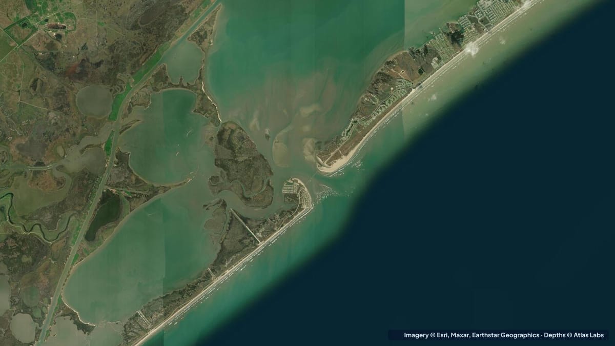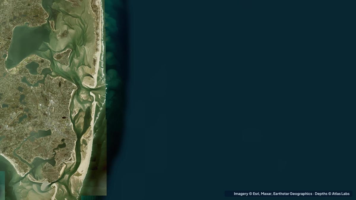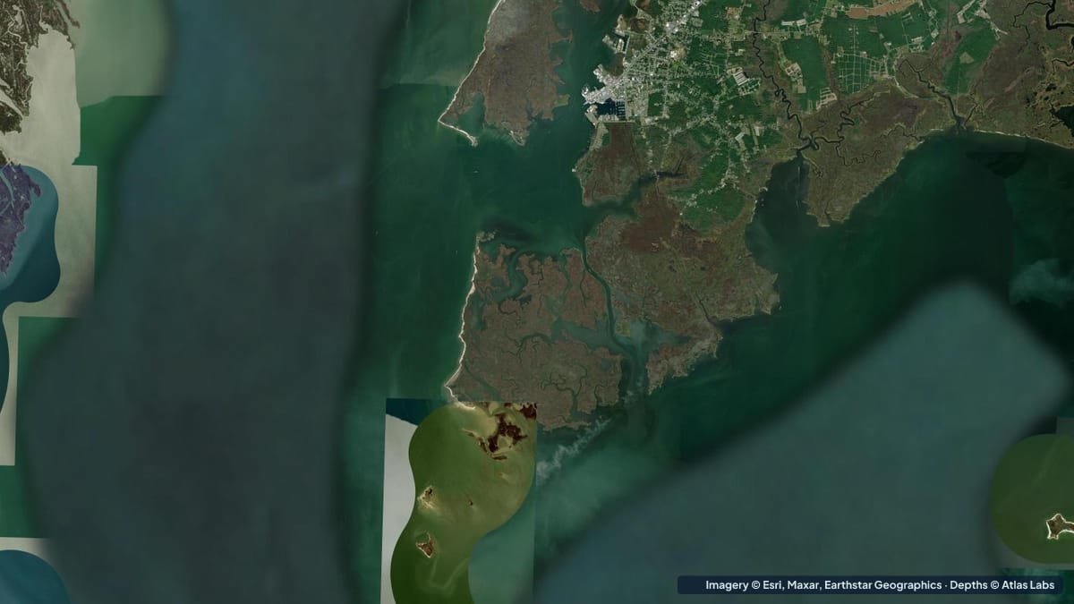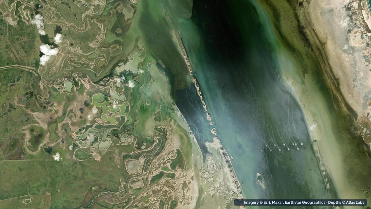
The Laguna Madre is the long, hypersaline lagoon behind Padre Island, stretching roughly 130 miles (210 km) from Corpus Christi to the Mexican border and interrupted only by the Land Cut. It is one of a handful of hypersaline lagoons on earth, and one of the clearest, shallowest big bays in the United States. Published figures give an average depth of about 3.5 to 4 ft (1.1 to 1.2 m), and flats under 2 ft (0.6 m) run for miles. This guide focuses on the Lower Laguna Madre around South Padre Island and Port Mansfield, with notes on the Upper Laguna and Baffin Bay. It covers typical depths by zone, launches, tides and wind, hazards and draft. The satellite depth map for each cell is updated regularly.
What the bottom looks like
- Open flats: firm sand and shoalgrass or turtle grass, with white sand potholes that fish use. On a calm, sunny day the water is clear enough to see a redfish’s tail at long range.
- West shore and the spoil islands: mud and sand flats along the mainland, with a chain of spoil islands beside the dredged Intracoastal Waterway that runs the whole length of the lagoon.
- East shore (Padre Island side): sand flats, mangroves in the south, and the back side of the dunes.
- Baffin Bay (Upper Laguna): a side bay known for rock formations made by ancient worm reefs, which rise to the surface and are a famous hazard.
- The Land Cut: a dredged channel through a long stretch of flats that nearly dry; the only route between upper and lower lagoons.
- Brazos Santiago Pass and Mansfield Pass: jettied inlets to the Gulf with deep, fast water.
Approximate depth by zone
Typical ranges only. Wind pushes water around this lagoon more than the tide does; check the live map and the forecast.
- Open grass flats: roughly 1 to 3 ft (0.3 to 0.9 m); wading anglers typically fish knee to waist deep.
- Extensive shallow flats (both shores): under 2 ft (0.6 m), often 6 to 12 in (15 to 30 cm) in the “skinny” water where redfish tail.
- Potholes on the flats: roughly 2 to 4 ft (0.6 to 1.2 m).
- Intracoastal Waterway: dredged, roughly 12 ft (3.7 m), barge traffic.
- Lower Laguna main body near South Padre: roughly 3 to 6 ft (0.9 to 1.8 m).
- Baffin Bay: roughly 4 to 8 ft (1.2 to 2.4 m) with rocks to the surface.
- Brazos Santiago Pass: deep, roughly 30 ft (9 m) or more, strong current.
Launch points and boat ramps
- South Padre Island: several public ramps and a convention-centre-area flats launch; kayak and paddleboard rentals along the bayside.
- Port Isabel: public ramps on the mainland side, close to the Lower Laguna flats and the pass.
- Arroyo City and Adolph Thomae Jr. County Park: ramps on the Arroyo Colorado with access to the west-side flats.
- Port Mansfield: ramps and lodges at the heart of the Lower Laguna’s best sight-fishing water.
- Bird Island Basin (Padre Island National Seashore): a famous windsurfing and kayak launch on the Upper Laguna with a small ramp.
- Kaufer-Hubert Memorial Park and Loyola Beach: ramps for Baffin Bay.
Best tide, wind and season
- Tide: Small, around 1 ft (0.3 m), and often overwhelmed by wind. A south-east wind piles water onto the flats; a north wind after a front drains them.
- Wind: The Laguna Madre is windy, with afternoon sea breezes of 15 to 25 knots most of the spring and summer. Fish and paddle in the morning, and plan to return downwind.
- Season: Spring (March to June) and fall (September to November) are prime for sight fishing. Summer mornings are hot but productive; the flats are at their highest. Winter fronts drop the water and concentrate fish in the deeper potholes and the Intracoastal.
Hazards
- Wind: The main hazard for paddlers. A calm morning turns into a 25 knot afternoon that can pin a kayak against a lee shore miles from the launch.
- Grounding: Flats run for miles under 1 ft (0.3 m). Running outside the Intracoastal without local knowledge destroys props.
- Baffin Bay rocks: Hard, sharp rock formations at or just below the surface; boats are wrecked here every year.
- Barge traffic: The Intracoastal is a working channel; do not stop in it.
- Stingrays, sun and dehydration: Shuffle your feet; carry more water than you think you need. There is no shade and often no cell service.
Kayak and skiff draft guidance
Kayaks and paddleboards (4 to 6 in, 10 to 15 cm of draft) can reach everything on the flats and are the quietest way to stalk redfish. Plan routes with the wind, and use the live map to find flats you can wade from the boat.
Shallow-draft skiffs, scooters and tunnel hulls drawing 6 to 10 in (15 to 25 cm) are what Laguna Madre guides run, and they still pole the shallowest water. Bay boats drawing 12 to 18 in (30 to 45 cm) should stay in the Intracoastal and the marked channels and fish the flats by anchoring at the edge and wading. Allow at least 1 ft (0.3 m) of margin above your draft, and more when a norther is forecast.
Frequently asked questions
How deep is the Laguna Madre?
On average about 3.5 to 4 ft (1.1 to 1.2 m), with flats under 2 ft (0.6 m) that run for miles. Only the dredged Intracoastal is consistently deep.
Can you wade fish the Laguna Madre?
Yes, it is one of the best wade-fishing bays in the world. Most anglers fish knee to waist deep on firm sand and grass flats.
Why is the Laguna Madre so clear?
It is hypersaline and shallow, with little river inflow and extensive seagrass that holds the bottom in place. Wind is what muddies it.
Can a bay boat run the Laguna Madre flats?
Only with local knowledge and at good water levels. Most bay boats stay in the Intracoastal and marked channels and anglers wade from the edge.
Where is the best kayak launch on the Laguna Madre?
Bird Island Basin for the Upper Laguna and the South Padre bayside launches or Arroyo City for the Lower Laguna.
Related reading
Safety note: ShoalScope depth maps are satellite estimates for planning only and are not for navigation. Wind changes water levels in the Laguna Madre by a foot or more. Use official charts and local knowledge, and wear a life jacket.