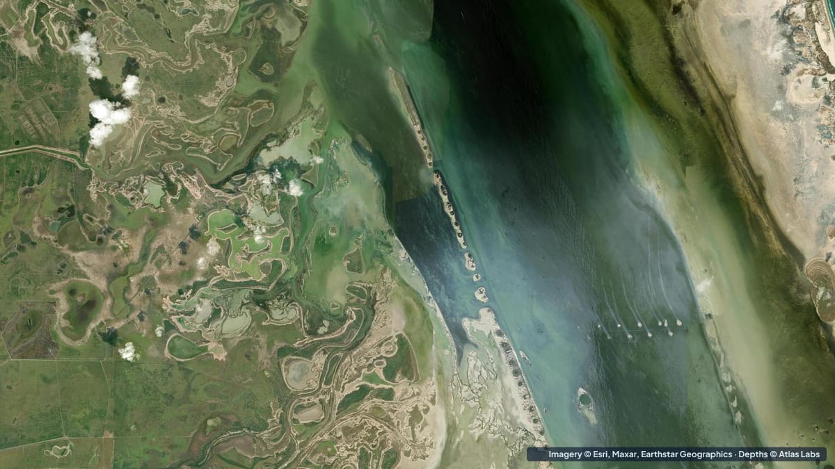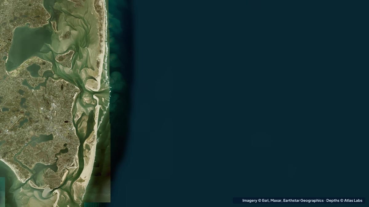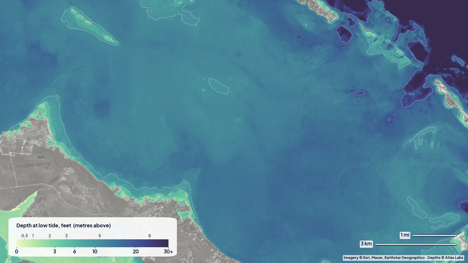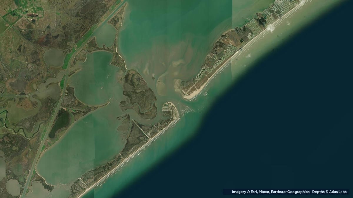
Christmas Bay is the small, clear, grassy bay at the far south-western end of the Galveston Bay system, tucked behind Follets Island between Freeport and San Luis Pass. It is a state coastal preserve, one of the last places on the upper Texas coast with healthy seagrass, and the home of a 19 mile (31 km) Texas Parks and Wildlife paddling trail with shorter 3.8 and 10.3 mile (6 and 17 km) loops. Most of the bay is shallow enough to stand in, which makes it a favourite for kayak anglers who want to fish and wade without a motor. This guide covers typical depths, launches, tides and hazards. The satellite depth map for this cell is updated regularly.
What the bottom looks like
- Open bay: firm sand and mud with patches of shoalgrass and widgeon grass, clear on calm days and milky after wind.
- Oyster reefs: scattered live oyster reefs and shell pads, especially toward the Drum Bay connection and the eastern shore. Many are awash at low tide.
- Marsh shorelines: cordgrass marsh with small drains and guts along the north and west shores, where redfish feed on a rising tide.
- The cut to Drum Bay and Bastrop Bay: a narrower, deeper connection with current, oyster edges and good fishing.
- The Intracoastal Waterway: runs along the northern edge of the system and is the only consistently deep water nearby.
Approximate depth by zone
Typical ranges only. Texas coast water levels are driven as much by wind as by tide, so check the live map and the forecast.
- Open bay: roughly 1 to 3 ft (0.3 to 0.9 m); paddlers describe being able to stand almost everywhere.
- Marsh edges and drains: roughly 6 in to 1.5 ft (15 to 45 cm) at normal water, often dry on a hard norther.
- Oyster reefs: awash to 2 ft (0.6 m); sharp.
- The cut toward Drum Bay: roughly 6 to 8 ft (1.8 to 2.4 m) in the channel, according to local paddlers.
- Intracoastal Waterway: dredged, roughly 12 ft (3.7 m), with barge traffic.
- San Luis Pass (south-east of the bay): deep, fast and dangerous; not part of the paddling trail.
Launch points and boat ramps
- Christmas Bay paddling trail launch, Bluewater Highway (CR 257): the official Texas Parks and Wildlife kayak launch on the Follets Island side, with parking and direct access to the loops.
- Additional roadside pull-offs along the Bluewater Highway: several informal carry-in spots where the road runs close to the bay.
- Ernie’s Bait Camp and the Bastrop Bayou area: ramps for small boats on the mainland side, reaching Christmas Bay through Drum Bay and the cut.
- San Luis Pass County Park: ramps and launches near the pass; experienced paddlers only, well away from the pass itself.
Best tide, wind and season
- Tide: The range is small, around 1 to 2 ft (0.3 to 0.6 m), but a rising tide floods the marsh edges and pulls fish onto the flats. A south wind piles water into the bay; a north wind after a front drains it and can leave the flats inches deep.
- Wind: The bay is open and shallow, so a 15 knot south-easterly builds a steep, muddy chop. Mornings are usually calmest.
- Season: Fall (September to November) is the classic season, with redfish and trout on the flats and cooler weather. Spring is also good. Summer mornings fish well before the heat; winter fronts bring low water and clear days.
Hazards
- Oyster reefs: They will cut feet, slice kayak hulls and stop a motorboat. Wear hard-soled wading boots.
- Wind-driven water loss: A hard norther can strand a kayak on mud a long way from the launch.
- Stingrays: Common on the sand flats; shuffle your feet.
- San Luis Pass: One of the most dangerous passes on the Texas coast, with strong rips. Stay well clear.
- Barge traffic on the Intracoastal: Do not linger in the channel.
- Heat and lightning: Summer storms build quickly over the Gulf.
Kayak and skiff draft guidance
Kayaks and paddleboards (4 to 6 in, 10 to 15 cm of draft) are the right craft for Christmas Bay and can cover the whole paddling trail at normal water levels. After a norther, parts of the shorter loops may be too shallow even for a kayak; check the live map.
Shallow-draft skiffs and scooters drawing 6 to 10 in (15 to 25 cm) can fish the open bay with care around reefs. Bay boats drawing 12 in (30 cm) or more should approach through the Drum Bay cut only and should expect to anchor at the edge and wade. Allow at least 1 ft (0.3 m) of margin above your draft and watch for dark reef patches.
Frequently asked questions
How deep is Christmas Bay?
Mostly 1 to 3 ft (0.3 to 0.9 m). Paddlers can stand in most of the bay. Only the cut toward Drum Bay and the Intracoastal are deeper.
Where is the Christmas Bay kayak launch?
On the Bluewater Highway (County Road 257) on Follets Island, with parking and signage for the Texas Parks and Wildlife paddling trail.
Can I fish Christmas Bay from a kayak?
Yes. It is one of the best kayak fishing bays on the upper Texas coast, with redfish and trout on the grass flats and around the oyster reefs.
Is Christmas Bay good for beginners?
The shorter 3.8 mile (6 km) loop on a calm morning is a good beginner paddle. Avoid windy days and stay away from San Luis Pass.
Can I run a bay boat in Christmas Bay?
Only with great care around the oyster reefs, and only at normal or high water. Many anglers anchor at the edge and wade instead.
Related reading
Safety note: ShoalScope depth maps are satellite estimates for planning only and are not for navigation. Oyster reefs and wind-driven water changes can make the bay shallower than any map shows. Wear a life jacket and wading boots.