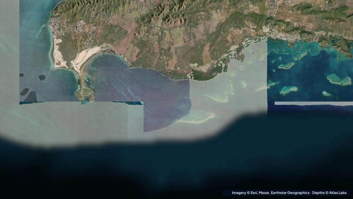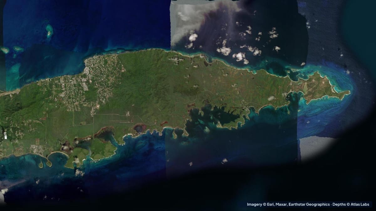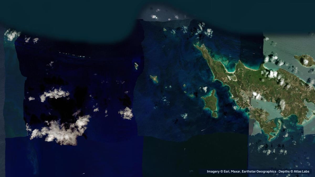
Culebra is the small, dry, quiet island 17 miles (27 km) east of Puerto Rico’s main island, and it has some of the clearest shallow water in the US Caribbean. Flamenco Beach is the famous one, a protected cove of white sand that regularly appears on best-beach lists. But the island’s real draw for snorkelers, freedivers and paddlers is the string of reef-fringed bays along its west and north coasts, most of them shallow enough to swim out to from the sand. This guide covers the main spots with typical depths, how to get in the water, when to go and what to watch for. The satellite depth map for this cell is updated regularly.
What the bottom looks like
- Flamenco Beach: a wide horseshoe cove of white coral sand with a gentle slope, rocky headlands on both ends and a fringing reef that reaches the shore at the far right (east) end when facing the water. Usually hardly any waves.
- Playa Carlos Rosario (west of Flamenco): a small beach with a reef just offshore that runs parallel to the shore and drops to deeper sand on the outside. Reached by a 20 minute trail from Flamenco.
- Tamarindo Beach (west coast): sand and seagrass meadows in a sheltered bay, the island’s best place to see sea turtles, and the main kayak and paddleboard launch.
- Melones Beach (near Dewey): rocky entry, coral heads and sea fans close to shore.
- Culebrita: an uninhabited island to the east with a lighthouse, tide pools and a shallow reef-protected beach (Tortuga Beach).
- Luis Peña Canal Natural Reserve: the protected channel between Culebra and Cayo Luis Peña, with reefs, seagrass and strong current in places.
Approximate depth by zone
Typical ranges only. Culebra’s tide is small, under 1 ft (0.3 m), but swell and wind move sand and change entries. Check the live map.
- Flamenco Beach swimming area: roughly 2 to 8 ft (0.6 to 2.4 m) within the first 50 yards, sand bottom.
- Flamenco east-end reef (best snorkeling): roughly 10 to 15 ft (3 to 4.6 m) on the outer edge, with coral right up to the sand near the rocks.
- Carlos Rosario reef: roughly 5 to 15 ft (1.5 to 4.6 m) over the reef, with the outside dropping to about 40 ft (12 m).
- Tamarindo Bay seagrass: roughly 3 to 12 ft (0.9 to 3.7 m), turtles usually in 5 to 10 ft (1.5 to 3 m).
- Melones coral heads: roughly 4 to 15 ft (1.2 to 4.6 m).
- Culebrita Tortuga Beach lagoon: roughly 2 to 8 ft (0.6 to 2.4 m) inside the reef.
- Luis Peña Canal: roughly 10 to 30 ft (3 to 9 m) with reefs rising to 5 ft (1.5 m).
Launch points and getting in the water
- Flamenco Beach: public parking (fee), facilities and kiosks; swim and snorkel from the sand. No boat launching in the swimming area.
- Tamarindo Beach: roadside parking and the base for kayak and paddleboard rentals; a short paddle to Cayo Luis Peña’s beaches and reefs.
- Melones Beach: small parking area a short walk from Dewey, the island’s village; rocky entry, bring reef shoes.
- Dewey town docks and the public ramp: the island’s only real boat ramp and the departure point for water taxis to Culebrita and Carlos Rosario.
- Ferry and small airport: most visitors arrive by ferry from Ceiba or by a short flight; golf carts and bikes are the usual transport.
Best tide, wind and season
- Tide: Minimal. Entries at rocky beaches are easier at high water. Swell matters more than tide: a north swell in winter stirs up Flamenco; the west-coast bays stay calm.
- Wind: The trade winds blow from the east most of the year, which makes the west and north-west bays (Tamarindo, Carlos Rosario, Melones) the calm snorkel and paddle choices. Flamenco faces north and is usually sheltered but takes north swell.
- Season: December to April is the dry, busy season with cooler air and the clearest water between swells. Summer is hot, calm and quieter, with the warmest water. Hurricane season runs June to November, with the highest risk in August to October.
Hazards
- Current in the Luis Peña Canal: The channel between Culebra and Cayo Luis Peña can run hard. Kayakers crossing to the cay should go early and watch for drift.
- Rocky entries and sea urchins: Melones and the Flamenco reef edge need reef shoes.
- Boat traffic: Water taxis and private boats use the Dewey channels and anchor at Carlos Rosario and Culebrita.
- Sun and heat: Culebra is dry and bright with little shade on the trails.
- Fire coral and jellyfish: Common on the shallow reefs; look, do not touch.
- Protected areas: Much of the coast is a national wildlife refuge or marine reserve; anchoring on coral and taking shells are prohibited.
Kayak and paddleboard guidance
Kayaks and paddleboards (4 to 6 in, 10 to 15 cm of draft) can go anywhere here; the only constraints are swell at exposed headlands and current in the canal. The classic paddle is Tamarindo to Cayo Luis Peña, about 1 mile (1.6 km) each way, snorkeling the reefs on the cay’s protected side. Culebrita is a longer trip best done by water taxi with your kayak or on a guided tour.
Small boats drawing 12 to 24 in (30 to 60 cm) use the Dewey ramp and the mooring areas at Carlos Rosario and Culebrita; use the moorings where provided and never anchor on reef.
Frequently asked questions
How deep is the water at Flamenco Beach?
The swimming area is roughly 2 to 8 ft (0.6 to 2.4 m) close to shore over sand. The best snorkeling, at the east end by the rocks, is in roughly 10 to 15 ft (3 to 4.6 m) on the outer reef edge.
Where is the best snorkeling in Culebra?
Carlos Rosario and Tamarindo are the local favourites, with Melones for easy access from Dewey and Culebrita for a day trip. All are shallow enough for beginners.
Can I kayak in Culebra?
Yes. Tamarindo Beach has rentals and the paddle to Cayo Luis Peña is the classic trip. Experienced paddlers also reach Culebrita by boat shuttle.
Is Culebra good for freediving?
Yes, for shallow reef freediving in 10 to 40 ft (3 to 12 m) at Carlos Rosario and the Luis Peña Canal. Spearfishing is restricted inside the reserves; check current rules.
When is the water clearest in Culebra?
On calm days in the dry season (December to April) between north swells, and on most summer mornings.
Related reading
Safety note: ShoalScope depth maps are satellite estimates for planning only and are not for navigation. Reefs rise suddenly and swell changes entries. Respect the reserves, use moorings, and never snorkel alone.