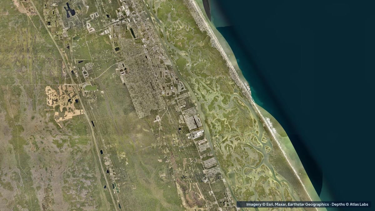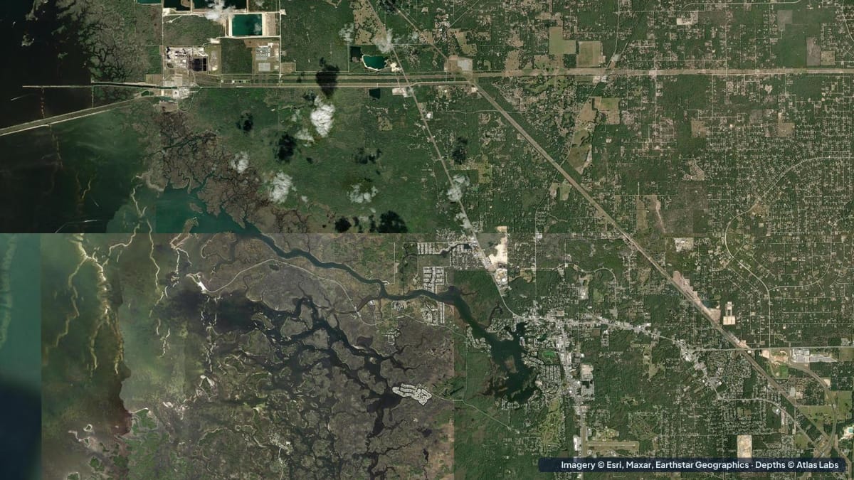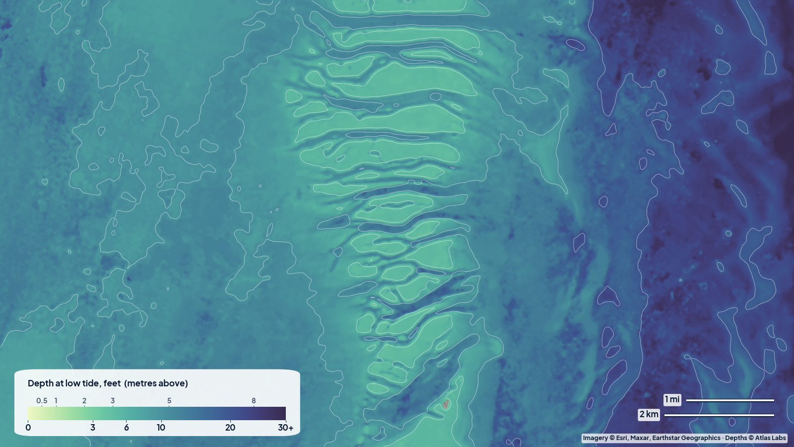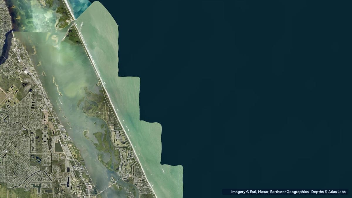
Sebastian Inlet is the busiest cut on Florida’s Treasure Coast, a man-made channel through the barrier island about halfway between Melbourne and Vero Beach. The inlet itself is deep, fast and famous for snook and surf fishing. Behind it, the Indian River Lagoon spreads out into miles of grass flats, spoil islands and mangrove shoreline that are perfect for kayaks and poling skiffs. The contrast is the whole point of this guide: a few hundred yards separates water you should never paddle on a running tide from water you can wade across. Below are the typical depths by zone, launch points, tide and wind notes, and the hazards. The satellite depth map for this cell is updated regularly.
What the bottom looks like
- The inlet channel: a rock-lined, dredged cut with jetties on both sides, a sand bottom scoured by strong current, and a shifting ebb shoal just offshore.
- Inside the inlet (the “cove” and the flats around the state park): sand and grass flats with sandbars that build where the inlet current slows, plus a small marina basin.
- Indian River Lagoon flats north and south of the inlet: seagrass over sand with white potholes, spoil islands along the Intracoastal channel, and mangrove edges.
- The Sebastian River mouth (west side of the lagoon): a brackish river with a deeper channel and oyster-lined edges.
- Ocean side: sand beach with a trough and bar system, plus rock and reef near the jetties that snorkelers visit on calm days.
Approximate depth by zone
Typical ranges only. The inlet’s shoals move after every storm, so check the live map and go with caution.
- Inlet channel between the jetties: deep, roughly 10 to 20 ft (3 to 6 m), with very strong current.
- Ebb shoal outside the inlet: shifting sand, roughly 3 to 10 ft (0.9 to 3 m), breaking waves on an ebb tide.
- Flats inside the inlet near the state park: roughly 1 to 4 ft (0.3 to 1.2 m), with sandbars drying at low tide.
- Indian River Lagoon grass flats: roughly 1 to 4 ft (0.3 to 1.2 m), potholes to 5 ft (1.5 m).
- Intracoastal channel in the lagoon: dredged, roughly 7 to 12 ft (2.1 to 3.7 m).
- Ocean beach near the jetties: roughly 3 to 10 ft (0.9 to 3 m) in the first hundred yards, with rocks.
Launch points and boat ramps
- Sebastian Inlet State Park: ramps and a kayak launch on the lagoon side (north and south of the inlet), with rentals, a bait shop and camping; entrance fee applies.
- Long Point Park and Donald MacDonald Park: county parks on the lagoon a short distance north and south of the inlet, with kayak launches and ramps in sheltered water.
- Wabasso Causeway and Sebastian Riverview Park: more ramps and carry-in launches on the lagoon.
- Sebastian River launches (Dale Wimbrow Park): quiet river paddling with access to the lagoon.
Best tide, wind and season
- Tide: Inside the inlet the current matters more than the height. Paddle the flats near the inlet within an hour of slack and stay well away from the channel on a running tide. On the open lagoon flats, water level matters more; a rising tide combined with a light east wind gives the most water.
- Wind: The lagoon is sheltered from easterlies behind the barrier island; westerlies build a chop against the island shore. Snorkeling at the jetties needs flat calm, which is rare.
- Season: Fall (September to November) is prime for snook and mullet runs; spring is excellent for trout and redfish on the flats. Summer is hot with afternoon storms; winter cold fronts clear the water but drop it.
Hazards
- Inlet current: Among the strongest on Florida’s east coast. Kayaks and paddleboards have been swept out to sea. Do not paddle near the channel on a running tide.
- Boat traffic: The inlet and the state park ramp area are extremely busy on weekends and during fish runs.
- Rocks and jetties: Submerged rock extends beyond the visible jetties and around the bridge.
- Shifting shoals: The ebb shoal outside the inlet changes constantly and breaks in surf.
- Lightning and heat: Summer storms arrive fast over open water.
Kayak and skiff draft guidance
Kayaks and paddleboards (4 to 6 in, 10 to 15 cm of draft) can cover the entire lagoon and the sheltered coves inside the inlet at any water level. Treat the inlet channel as off limits except at slack and with experience.
Poling skiffs drawing 6 to 10 in (15 to 25 cm) are ideal for the lagoon flats and the sandbars inside the inlet. Bay boats and centre consoles drawing 12 to 24 in (30 to 60 cm) should use the marked channels and the inlet only, and should fish the flats from the channel edges unless the map shows 3 ft (0.9 m) or more. Allow 1 ft (0.3 m) of margin above your draft.
Frequently asked questions
How deep is Sebastian Inlet?
The channel between the jetties is roughly 10 to 20 ft (3 to 6 m) deep with very strong current. The flats just inside are often only 1 to 4 ft (0.3 to 1.2 m).
Can I kayak at Sebastian Inlet?
Yes, on the lagoon side, from the state park launches and the nearby county parks. Stay away from the inlet channel on a running tide.
Is there a boat ramp at Sebastian Inlet State Park?
Yes, on the lagoon side, with a fee. It is one of the busiest ramps on the coast at weekends.
How deep is the Indian River Lagoon near Sebastian?
Mostly 1 to 4 ft (0.3 to 1.2 m) over grass flats, with the dredged Intracoastal channel at roughly 7 to 12 ft (2.1 to 3.7 m).
Can you snorkel at Sebastian Inlet?
On rare flat-calm days, the rocks near the jetties and the ocean beach hold fish, but current and traffic make it a spot for experienced snorkelers only.
Related reading
Safety note: ShoalScope depth maps are satellite estimates for planning only and are not for navigation. Inlet shoals and currents change daily. Use official charts and local knowledge, and wear a life jacket.